Why are icicles shaped like long skinny carrots?

4-foot long icicles! (Photo credit: Jackie Von Behren,
Town of Vienna)

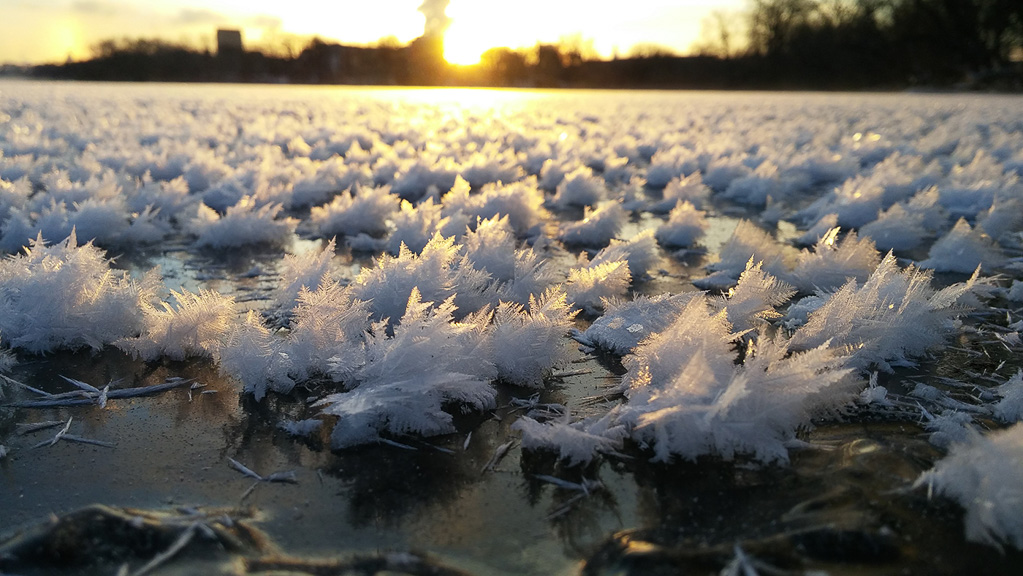
Icicles typically form on days when the outdoor air temperature is below freezing but sunshine warms and melts snow or ice.

Thus, you may notice that more icicles form on the sunny south-facing side of your home than on the shaded north side.

When the sun melts snow or ice on your roof, the water flows downward and begins to drip off the roof. As the water first trickles over the edge, it forms a pendent drop suspended in the cold air. The air is below freezing, so the suspended drip starts to freeze. A thin outer-shell of ice forms on the drop. The icicle begins to form from this pendent drop.

For an icicle to grow, there must be a constant layer of water flowing over it, forming a thin fluid layer of water around the icicle. This is why icicles can feel very slippery.

The water runs down the sides in a thin film and freezes on the way down. When liquid water freezes, it releases heat. As the water along the sides of the icicle begins to freeze, the heat released by the freezing is transferred to the colder air in contact with the icicle. This small amount of heat makes a warmer layer of air that rises alongside the icicle, as it is warmer than the surrounding environment.

As this air flows upward along the icicle, it removes heat from the outer liquid layer, some of the water freezes, and the icicle grows thicker as it elongates. An icicle grows downward with an ever-progressing tip.

An icicle stops growing if water flow decreases or stops entirely. Icicles seen on a very cold day may be completely frozen, relics from a period when conditions were favorable for icicle formation. Actively growing icicles have liquid drops at the tip, and a narrow, liquid-filled tube extending upward from the tip.

Category: Meteorology, Phenomena

Comments Off on Why are icicles shaped like long skinny carrots?

What is the best weather forecast model?

This graphic illustrates the huge number of variables that go into weather forecast models. 
Credit: K. Cantner, AGI.

If you are not a student of meteorology, you should rely on your local weather forecasters for a good weather forecast — and southern Wisconsin has some very good local forecasters. It is their job to interpret the various numerical weather prediction models.

Numerical weather prediction models, or NWP, solve a complex set of mathematical equations that are based on the physics that drives how the air moves and how heat and moisture are exchanged throughout the atmosphere.

The two best-known NWP models are the National Weather Service’s Global Forecast System, or GFS, and the European Center for Medium-Range Weather Forecast, known as the ECMWF model. They are also known as the American and European models, respectively. Generally speaking, the European model has produced the most accurate global weather forecasts.

If physics drives these models, how can these NWP models result in different weather predictions? Because of the complexity of the mathematical equations, each model has to make some approximations, and these approximations may differ. In addition, each model assimilates observations a bit differently.

A numerical forecast is only as accurate as the observations that go into the forecast at the beginning of its run, also known as the “initial conditions.” Because weather moves from one place to another rapidly, tomorrow’s weather is influenced by today’s weather far upstream, and next week’s weather can be affected by today’s weather a continent away. For this reason, forecasters need lots of worldwide data. Today we have global sources of data of many different types to give the forecast the best possible start.

Category: Climate, Meteorology

Comments Off on What is the best weather forecast model?

Why is ice different colors?

White ice crystals on the clear frozen surface of Madison’s Lake Mendota during January 2016.
Credit: Ilya Razenkov, SSEC

Some ice is called “black ice,” which refers to one of two conditions: A new layer of clear ice on water, which appears dark in color because the ice is transparent and so we see the deep water below; or a layer of clear ice on a roadway, which makes for hazardous driving conditions.

In both of these cases, the ice is not actually black but is transparent and therefore shows the color of the underlying surface.

When ice is clear, it’s because no air bubbles have been trapped in it. Lots of trapped air makes an object look white. You may have noticed that your ice cubes usually look cloudy and opaque in the middle. The water from your faucet has dissolved gases and minerals in it.

As ice forms, the process of freezing excludes impurities in the water from becoming part of the ice structure. In an ice cube tray, the water freezes from the outside and moves inward, and so the impurities are pushed into the middle of the ice cube and get trapped there — making it look cloudy in the middle. Snow looks white because of air trapped between crystals.

Lakes freeze from the surface downward. If a lake freezes slowly, the impurities and gases are pushed into the water below, resulting in clear ice.

The danger of driving on a road covered with black ice is that the roadway can appear to be merely wet. Drivers may not recognize the slippery conditions until it is too late and their cars begin to skid.

If your car has a thermometer, its temperature reading can help you determine hazardous road conditions. If your car’s thermometer measures an air temperature near freezing you should be wary of the road conditions. Because bridges span the open air, they cool faster than the roadways around them. Black ice may first occur on bridges; hence the warning signs “Bridge May Freeze Before Road.”

If a sidewalk is covered with clear ice, it may look dark gray — like a wet sidewalk. This “gray ice” can be hazardous to walking.

Category: Seasons, Weather Dangers

Comments Off on Why is ice different colors?

Is there energy in snow?

UW-Arboretum in winter: Hoar frost at the Duck Pond. (Photo credit: Fred Best, SSEC)

Since the beginning of this year, Madison and Dane County have received about 35 inches of snow.

Snow is a form of solid water and water is the only substance that occurs naturally in all three phases — solid, liquid and invisible gas — in the Earth’s atmosphere. Of course, that means that the 35 inches of snow began as the equivalent amount of water in the invisible vapor (gas) phase before it was transformed into solid water.

Melting ice into liquid water requires energy. Not surprisingly, energy is also required to transform liquid water into water vapor, the familiar process of evaporation. The particular amounts of energy needed to accomplish these changes of phase are known as latent heats — the latent heat of melting for the first one and the latent heat of evaporation for the second.

When a cloud of invisible water vapor condenses into a puddle of liquid water, the latent heat of condensation (equal to the latent heat of evaporation) is released to the environment. Also, when that puddle freezes into ice the latent heat of fusion (equal to the latent heat of melting) is similarly released, incoherently, to the environment.

Since we know the depth of liquid-equivalent precipitation involved in delivering us 35 inches of snow since Jan. 1, the area of Dane County, and the latent heats of condensation and fusion, we can calculate how much energy has been released to the atmosphere in the production of that much snow.

Without providing the details of the calculation, we can report that the amount of energy involved could power the entire Madison metro area for about 7.7 years. Clearly, there are huge amounts of energy involved.

Category: Meteorology, Seasons

Comments Off on Is there energy in snow?

What makes loud noises on very cold days?

Great Lakes Region during winter via satellite.

Thursday night and Friday morning, several people reported hearing loud noises, thinking something fell on their house or gunshots were fired.

These sounds result from what are called frost quakes or ice quakes. They occur when a rapid drop in temperature leads to a quick freeze.

When the temperatures plunge rapidly below freezing, water in the ground will freeze and expand. As a result, the rock or soil bursts, rather than just slowly expands. The rapid bursting sounds can be accompanied by shaking.

Frost quakes are generally too small to be recorded by a seismograph, which is designed to measure the strength of earthquakes.

There are four main precursors for a frost quake event. First the region must be in a climate zone that experiences cold Arctic air masses, which is the case for us.

Second, the ground must contain water, usually from rain or melting of snow.

Third, there should not be more than about 6 inches of snow on the ground. More than that amount of snow serves as insulation and keeps the ground warm.

Fourth, a rapid drop in temperature over a 16- to 48-hour period, from approximately freezing to near or below zero, needs to occur.

If you think about the weather we had over the last 10 days, the conditions were ripe for frost quakes. The weekend of Feb. 3 and 4 saw temperatures near 40 degrees, and rain that melted snow and provided liquid water to be absorbed by the ground. Thursday night we saw a rapid drop in temperature, falling to below zero.

Category: Phenomena, Severe Weather

Comments Off on What makes loud noises on very cold days?