What is “black ice?”

Frozen air bubbles are trapped under ice at Tenney Park.  Clear ice -- such as hazardous black ice -- has no air bubbles in it, while lots of trapped air makes an object look white. (Photo credit:  Mike Devries, The Capital Times archives)

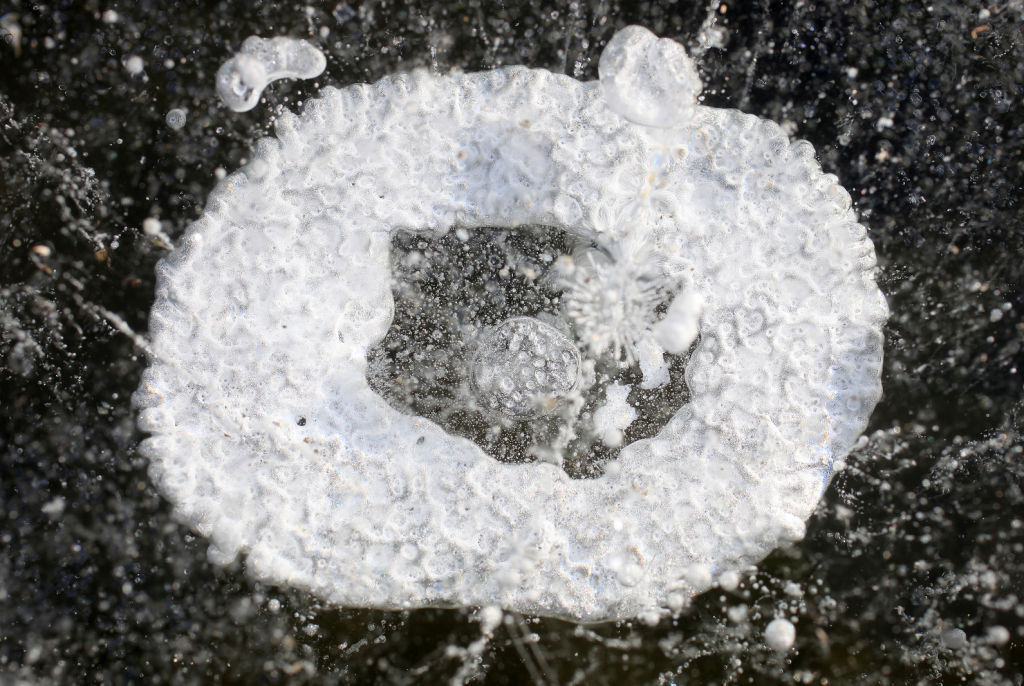
Frozen air bubbles are trapped under ice at Tenney Park. Clear ice — such as hazardous black ice — has no air bubbles in it, while lots of trapped air makes an object look white. (Photo credit: Mike Devries, The Capital Times archives)

The ice is clear because no air bubbles are trapped in the ice. Lots of trapped air makes an object look white. Snow looks white because of air trapped between crystals.

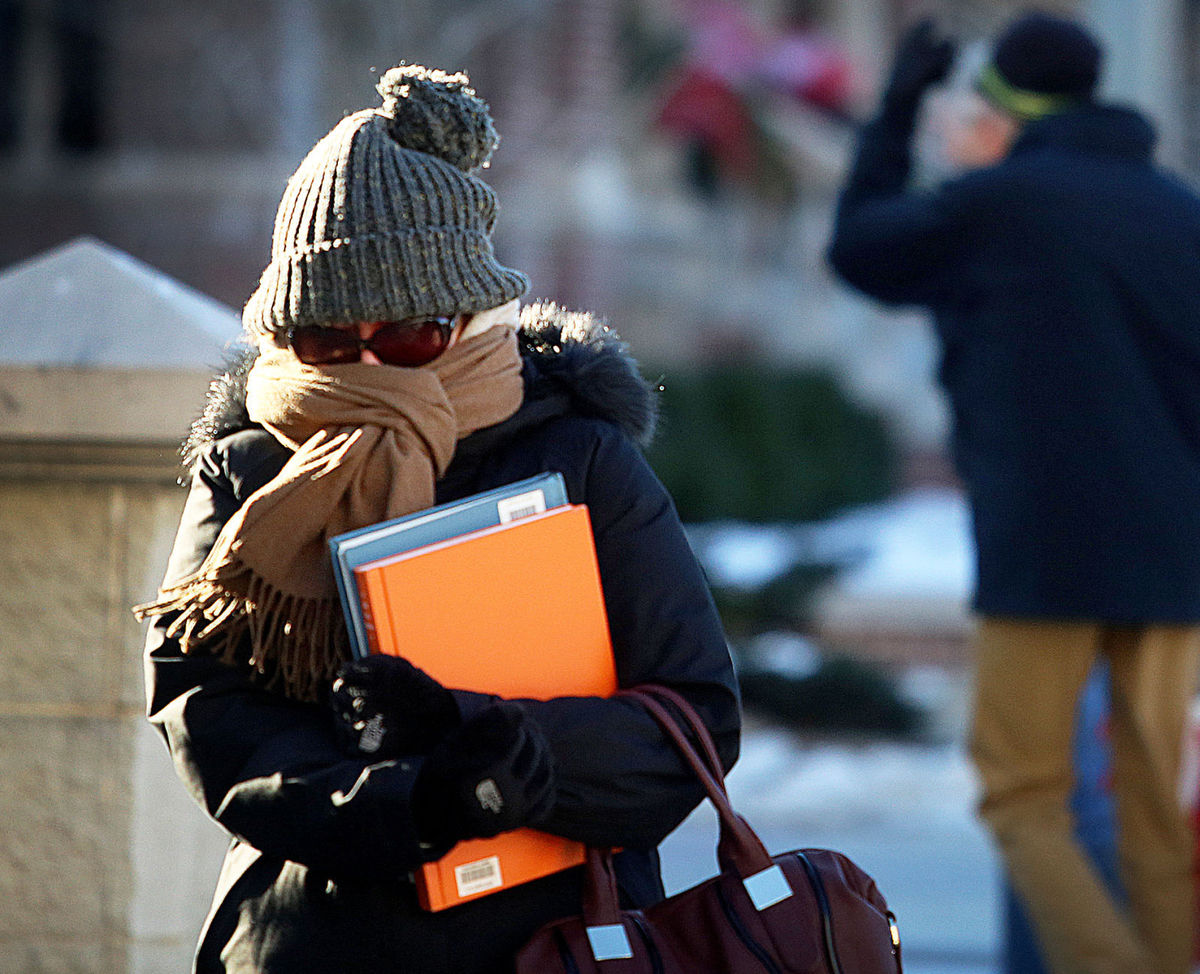
The danger of driving on a road covered with black ice is that it can appear to be merely wet.

Drivers may not recognize the slippery conditions until it is too late and their car begins to skid.

If your car has a thermometer, its temperature reading can help you determine hazardous road conditions. If your car’s thermometer measures an air temperature near freezing, you should be wary of the road conditions.

Also, because bridges span the open air, they cool faster than the roadways around them. So, black ice may first occur on bridges. Hence the warning signs “Bridge May Freeze Before Road.”

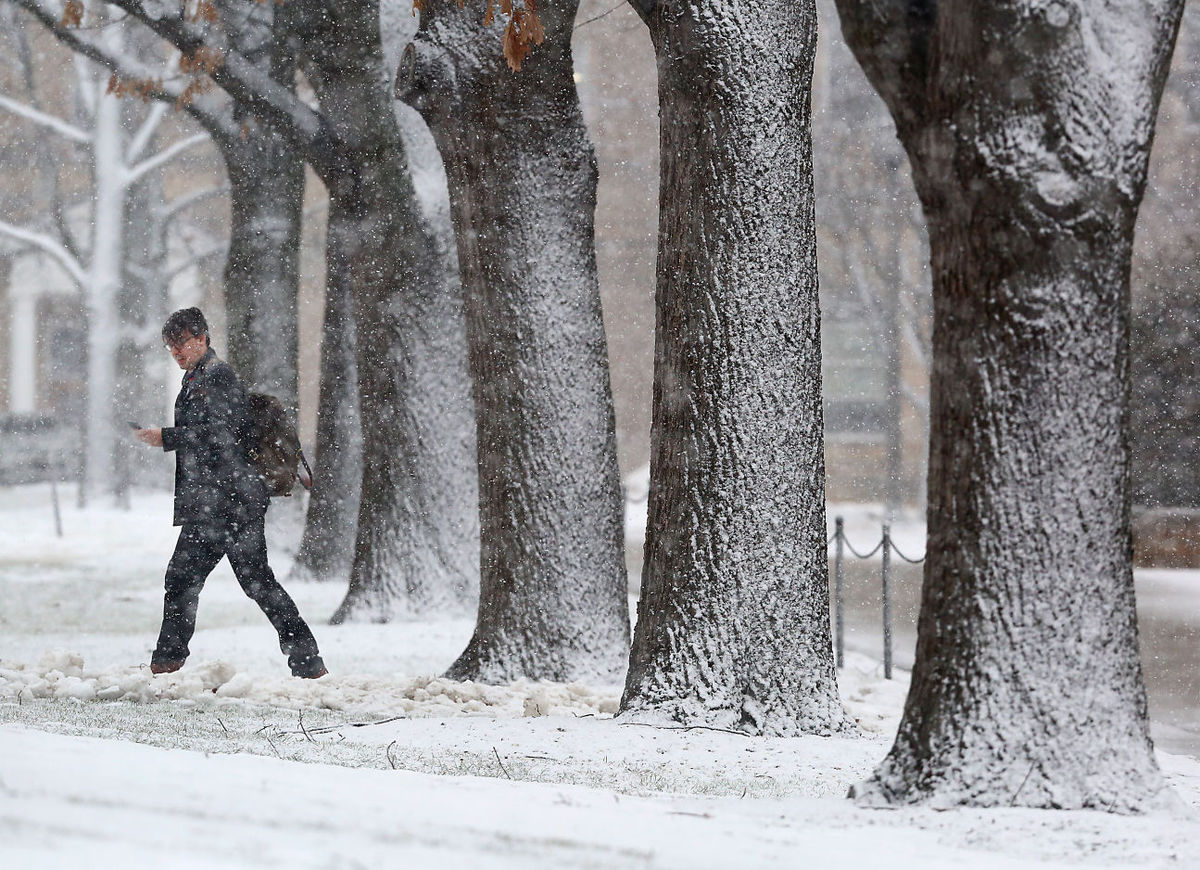
If a sidewalk is covered with clear ice, it may look dark gray — like a wet sidewalk. This “grey ice” can be hazardous for walking.

Category: Seasons, Weather Dangers

Comments Off on What is “black ice?”

When does the last deep-cold spell of the winter usually come?

UW-Madison graduate student Marguerite Heckscher bundles against frigid cold temperatures as she makes her way across campus last month.  We might not be done with bitter cold for the winter, but we don't have much longer to go.  (Photo credit:  John Hart, State Journal)

UW-Madison graduate student Marguerite Heckscher bundles against frigid cold temperatures as she makes her way across campus last month. We might not be done with bitter cold for the winter, but we don’t have much longer to go. (Photo credit: John Hart, State Journal)

As we all work to recover from our recent cold spell, the natural question is: Are we done with bitter cold for the winter?

If we use an overnight low temperature below zero as the definition of a cold spell, then 26 of the 45 winters since 1970-71 have seen a cold spell after Feb. 15 — that’s 64 percent of the time. In fact, in 1974, the last below-zero night was not until March 24, the latest date in the last 45 years.

None of this bodes well for our chances this year. It should be noted, however, that in the last 18 years, 50 percent of winters have not had an additional cold spell after Feb. 15.

Recent research at the UW-Madison has documented a systematic warming of the lower troposphere during Northern Hemisphere winter over the past 66 seasons. Elements of that analysis have suggested that the hemisphere begins its warm up much earlier than the spring equinox, which occurs around March 22. In fact, the hemispheric warm up really accelerates in the first few days of March.

Though it is true that this hemispheric signal does not always translate to a warm up at any given location, it is comforting to know that the entire hemisphere is trying to shake off winter as early as the next couple of weeks. So whether or not we have just had our last below-zero night of the season, we really do not have that much further to go.

Category: Meteorology, Seasons

Comments Off on When does the last deep-cold spell of the winter usually come?

What is thundersnow?

A pedestrian on the UW-Madison campus makes his way through a line of snow-covered trees Tuesday as a winter storm moves through the area.  The storm was accompanied by thundersnow - lightning and thunder that occur during a snowstorm. (Photo credit:  John Hart, State Journal)

A pedestrian on the UW-Madison campus makes his way through a line of snow-covered trees Tuesday as a winter storm moves through the area. The storm was accompanied by thundersnow – lightning and thunder that occur during a snowstorm. (Photo credit: John Hart, State Journal)

Lightning is always accompanied by thunder. Lightning is a huge electrical discharge. Static charges form in a storm composed of ice crystals and liquid water drops. Turbulent winds inside the storm cause particles to rub against one another, causing electrons to be stripped off, making the particles either negatively or positively charged.

The charges get grouped in the cloud, often negatively charged near the bottom of the cloud and positively charged up high. This is an electric field, and because air is a good insulator the electrical fields become incredibly strong. Eventually a lightning bolt happens to neutralize the electric field.

The lightning bolt rapidly heats the air around it, to as hot as 50,000 degrees. This rapid warming causes the air to quickly expand and generate a sound wave.

That sound wave is thunder. Sound can interact with objects in multiple ways. Snowfall, and snow on the ground, tends to muffle the sound.

Thunder is common in the summer when cumulonimbus clouds have strong updrafts of warm, moist air that can rise upward to 40,000 feet or more. The air is above freezing near the ground and far below freezing near the top of the updrafts. This provides for lots of opportunity to generate an electric field.

Thunder is not common in winter as the storms are shallower than the summer convection. Most of the precipitation in winter occurs below about 20,000 feet and the turbulent motions are weaker. The colder temperatures also make for few liquid water drops in the winter storms.

Category: Phenomena, Severe Weather

Comments Off on What is thundersnow?

What is Groundhog Day and do the forecasts work?

Then-mayor Jon Freund, left, leans in for Jimmy the Groundhog's prognostication on Feb. 2, 2015 -- just before he was famously bitten on the ear by the groundhog during Sun Prairie's Groundhog Day celebration.  The roots of Groundhog Day date back to the 6th century.  (Photo credit:  Associated Press)

Then-mayor Jon Freund, left, leans in for Jimmy the Groundhog’s prognostication on Feb. 2, 2015 — just before he was famously bitten on the ear by the groundhog during Sun Prairie’s Groundhog Day celebration. The roots of Groundhog Day date back to the 6th century. (Photo credit: Associated Press)

Groundhog Day is an example of predicting the weather based on folklore. If the groundhog comes out of its hole and sees its shadow, we are in store for 40 more days of winter. Of course, after Feb. 2, there are only 47 days left of astronomical winter – which ends on or about March 21.

The roots of Groundhog Day go back to the 6th century. Feb. 2 is 40 days after Christmas and is known as Candlemas. On this day, candles that are used for the rest of the year are blessed. This is also about the mid-point in winter, in meteorological not astronomical terms.

The forecast rhyme goes:

If Candlemas Day is bright and clear,

There’ll be two winters in that year;

But if Candlemas Day is mild or brings rain,

Winter is gone and will not come again.

If the day is bright and clear, the groundhog “sees” his shadow and we have more winter. Of course, the weather conditions on Feb. 2 at single locations like Sun Prairie or Punxsutawney, Pennsylvania, tells us nothing about the weather for the rest of the winter season.

As for accuracy — the “predictions” made by the various rodents involved in this annual event are correct about 40 percent of the time — vastly inferior to what is delivered by modern science. Right or wrong, they are fun community celebrations.

Category: Climate, Meteorology, Seasons

Comments Off on What is Groundhog Day and do the forecasts work?

Was the Blizzard of 2016 forecasted well in advance?

A wide corridor of snow can be seen in this stunning nighttime view of the U.S. east coast in the wake of the winter storm from Suomi NPP VIIRS Day/Night Band at 0647 UTC, 24 Jan 2016, courtesy of CIMSS/SSEC at UW-Madison

A wide corridor of snow can be seen in this stunning nighttime view of the U.S. east coast in the wake of the winter storm from Suomi NPP VIIRS Day/Night Band at 0647 UTC, 24 Jan 2016, courtesy of CIMSS/SSEC at UW-Madison

The blizzard that affected over 80 million Americans from the Deep South to New England over the weekend was a historic storm in many ways.

Perhaps most obviously, the snowfall totals that it delivered in the so-called Megalopolis (the stretch of cities from Washington, D.C., northeast to Boston) equaled or surpassed records in many locations.

Final snowstorm totals varied across major cities on the East Coast, the National Weather Service reported, from 22.4 inches at Philadelphia International Airport, to 27.9 inches at LaGuardia International Airport and a staggering 36 inches in Maugansville, Maryland.

Other locations that don’t often see large snowfall totals — such as eastern Kentucky, which received more than 15 inches of snow — were also hammered by this storm. Additionally, Weather Storm Jonas was the largest snowstorm on record for Harrisburg, Pennsylvania and Baltimore, Maryland and at JFK Airport in New York City.

The fact that the storm was so accurately predicted many days in advance is also noteworthy. Though not the first such accurate forecast in history, it is a high-profile example of the quiet revolution in weather forecasting that has taken place over the last 30 or so years.

The combination of increased observing capabilities (much of that increase in the form of satellite data), increased understanding of the physical processes that produce the weather, and increased computing power has greatly improved the weather prediction enterprise that now informs so much of our decision making in advance of, and in the face of, such extreme weather emergencies.

Such forecasts are the fruits of sustained commitment and investment in basic research in satellite meteorology (of which UW-Madison is both the originator and the world leader), dynamic meteorology and computer technology provided by research grants over decades.

Category: Meteorology, Severe Weather, Weather Dangers

Comments Off on Was the Blizzard of 2016 forecasted well in advance?