What forced last week’s strong winds?

 
Lesley Davidson, of Madison, shelters her 8-month-old daughter, Eleanor, from the wind as she walks with her 4-year-old daughter, Lily, to the Chazen Museum of Art on the UW-Madison campus on Wednesday. (Photo credit: Amber Arnold, State Journal)

Lesley Davidson, of Madison, shelters her 8-month-old daughter, Eleanor, from the wind as she walks with her 4-year-old daughter, Lily, to the Chazen Museum of Art on the UW-Madison campus on Wednesday. (Photo credit: Amber Arnold, State Journal)

Our windy Wednesday last week was a notable departure from a winter without many high-wind events.

The strong winds from Tuesday and Wednesday were a result of the passage of an intensifying low-pressure center (mid-latitude cyclone) nearly directly over Madison overnight Tuesday into Wednesday.

The fundamental circumstance that forces the wind to blow is the existence of horizontal differences in pressure from one location to another. Such differences are known as pressure gradients.

Since mid-latitude cyclones have lowest pressure at their centers, regions within a few hundred miles of the storm center have strong pressure gradients and, therefore, strong winds.

If, as was the case on Tuesday night and Wednesday, the mid-latitude cyclone is intensifying, the central pressure continues to get lower. This serves to strengthen the pressure gradients associated with the storm and, thus, increases the wind speeds. That was precisely the situation that led to our strong wind event on Wednesday.

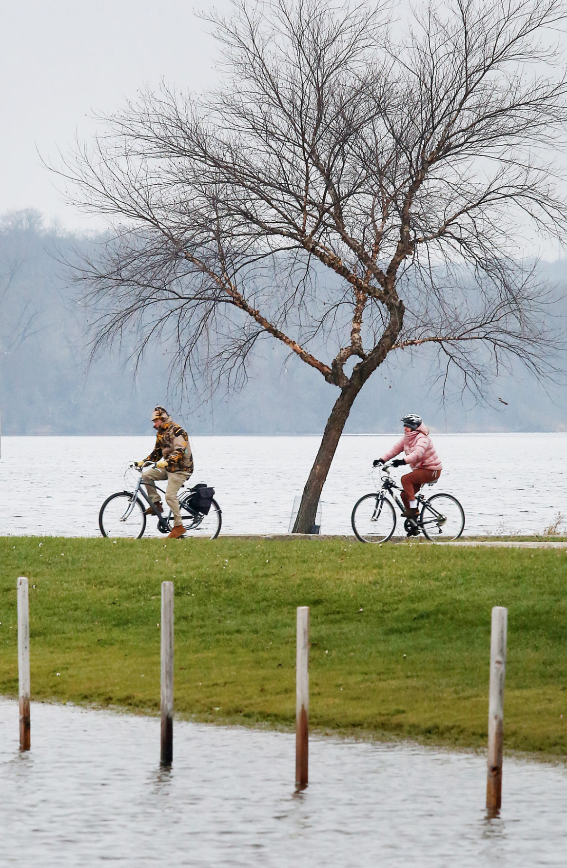
Also, since the force that is imposed on objects caught in the wind varies as the square of the wind speed, the destructive power of 30 mph winds (such as we had on Wednesday) is nine times stronger than for more run-of-the-mill winds of 10 mph. Thus, many locations endured broken tree limbs and other such damage.

The force of the wind also depends on the surface area of the objects through which the wind is blowing.

Had the same trees that lost limbs on Wednesday been in full leaf, the area available to catch the wind would have been greatly increased and more than likely much more damage would have resulted.

Category: Meteorology, Severe Weather

Comments Off on What forced last week’s strong winds?

Did we have a normal winter this year?

Mild, spring-like weather encourages members of the UW-Madison campus community to take to the outdoors March 7th, including these visitors to the university's Library Mall. (Photo credit - John Hart, State Journal)

Mild, spring-like weather encourages members of the UW-Madison campus community to take to the outdoors March 7th, including these visitors to the university’s Library Mall. (Photo credit – John Hart, State Journal)

In fact, 46 states had a winter temperature that was above average. The contiguous U.S., or the lower 48 states, had its warmest winter temperature in 121 years of record keeping.

We did have our cold spells, one of which occurred in the second week of February.

Early January temperatures were cold, causing the regional lakes to freeze over. The total precipitation for most of southern Wisconsin was above normal, about 130 percent of normal.

Southern Wisconsin, however, was about 5 to 10 inches short of its climatological winter snowfall.

Another way to look at our winter temperature is to consider the number of days between the last day with a 60-degree daily average temperature and the first such day of the year.

The daily average temperature is determined by adding the daily high to the daily low and dividing by 2.

Last Tuesday we had a high of 68 and low of 52, making March 8 the first day of the year with a 60-degree daily average temperature.

The previous such day was Nov. 5, which was 123 days before.

This was 58 days shorter than the mean interval between consecutive days at or above 60 degrees, and the second shortest interval of all time – the record shortest being 118 days from Nov. 9, 1999 to March 7, 2000.

The average interval, determined from records that date back to 1871, stretches from Oct. 17 to April 17. So, almost no matter how you slice it, this past winter was quite abnormal in its mildness.

Category: Climate, Meteorology, Seasons

Comments Off on Did we have a normal winter this year?

How severe has this winter been?

Posts intended as wall supports for an ice rink at Vilas Park were still standing in liquid water in early December (Photo credit:  John Hart, State Journal archives)

Posts intended as wall supports for an ice rink at Vilas Park were still standing in liquid water in early December (Photo credit: John Hart, State Journal archives)

It may not surprise anyone that the average temperature from Dec. 1 to Feb. 29 this season in Madison was 5.67 degrees above normal, with most of that surplus accumulated during an extremely warm December that was 12 degrees above average.

There are other ways to assess the winter severity that are less local in nature. Four times each day we calculate the areal extent of air colder than minus 5 degrees Celsius at 1 mile above the surface using weather data supplied by the National Center for Environmental Prediction. Averaging the four measurements per day together creates a daily value of the areal extent of this “cold pool.”

Despite the fact that our last two winters were either normal (last year) or well below normal (2013-14) in Madison, around the entire Northern Hemisphere those winters set back-to-back records for the smallest average cold pool areas (warmest winters) in the last 67 years.

Though we did not set a record, this season’s cold pool was the seventh smallest on record. Six of those seven years have occurred since 2000-01 indicating a trend toward overall hemispheric winter warming. In fact, over the last 67 winter seasons, the 90-day December-January-February average areal extent of this low-level cold air has systematically decreased.

The best explanation for this long-term trend is that the Earth is warming as a result of changes in the chemical composition of the atmosphere induced by the burning of fossil fuels.

Category: Meteorology, Seasons

Comments Off on How severe has this winter been?

What is “sea smoke” and where is it usually seen?

We recently got a question from a reader who had heard the term “sea smoke” while traveling near Superior on a windy, cold winter day.

Amazingly, sea smoke has a very similar physical origin to the “fog” we often encounter as we take a shower.

"Sea Smoke" rises over the Milwaukee River where it meets Lake Michigan, in Milwaukee.  Sea smoke comes from the rapid addition of water vapor to the air when really cold, dry air moves over an open body of relatively warm liquid water. (Photo credit:  Jeffrey Phelps, Associated Press archives)

“Sea Smoke” rises over the Milwaukee River where it meets Lake Michigan, in Milwaukee. Sea smoke comes from the rapid addition of water vapor to the air when really cold, dry air moves over an open body of relatively warm liquid water. (Photo credit: Jeffrey Phelps, Associated Press archives)

Fog is a cloud that develops directly above the surface of the Earth. Clouds are composed of tiny liquid water droplets whose diameters measure about 20 millionths of a meter. Invisible water vapor can condense into liquid water when the air containing the vapor becomes saturated.

Sea smoke arises from rapid addition of water vapor to the air, occasioned by really cold, dry air moving over an open body of relatively warm liquid water. In such a case, water vapor is added to the air through evaporation off of the liquid water surface.

So long as there is not very much ice on Lake Superior, the invasion of cold, dry air from Canada across the lake can readily produce this sea smoke.

If it is windy as well, which is usually the case, the sea smoke can be fashioned into dramatic, tornado-looking structures known as “steam devils.”

Apparently the bluffs on the north shore of Lake Superior at Duluth are a prime spot for viewing these fascinating natural wonders though one must be willing to endure pretty cold conditions to watch them.

Category: Phenomena, Seasons

Comments Off on What is “sea smoke” and where is it usually seen?

What is “black ice?”

Frozen air bubbles are trapped under ice at Tenney Park.  Clear ice -- such as hazardous black ice -- has no air bubbles in it, while lots of trapped air makes an object look white. (Photo credit:  Mike Devries, The Capital Times archives)

Frozen air bubbles are trapped under ice at Tenney Park. Clear ice — such as hazardous black ice — has no air bubbles in it, while lots of trapped air makes an object look white. (Photo credit: Mike Devries, The Capital Times archives)

The ice is clear because no air bubbles are trapped in the ice. Lots of trapped air makes an object look white. Snow looks white because of air trapped between crystals.

The danger of driving on a road covered with black ice is that it can appear to be merely wet.

Drivers may not recognize the slippery conditions until it is too late and their car begins to skid.

If your car has a thermometer, its temperature reading can help you determine hazardous road conditions. If your car’s thermometer measures an air temperature near freezing, you should be wary of the road conditions.

Also, because bridges span the open air, they cool faster than the roadways around them. So, black ice may first occur on bridges. Hence the warning signs “Bridge May Freeze Before Road.”

If a sidewalk is covered with clear ice, it may look dark gray — like a wet sidewalk. This “grey ice” can be hazardous for walking.

Category: Seasons, Weather Dangers

Comments Off on What is “black ice?”