How severe has this winter been?

Posts intended as wall supports for an ice rink at Vilas Park were still standing in liquid water in early December (Photo credit:  John Hart, State Journal archives)

Posts intended as wall supports for an ice rink at Vilas Park were still standing in liquid water in early December (Photo credit: John Hart, State Journal archives)

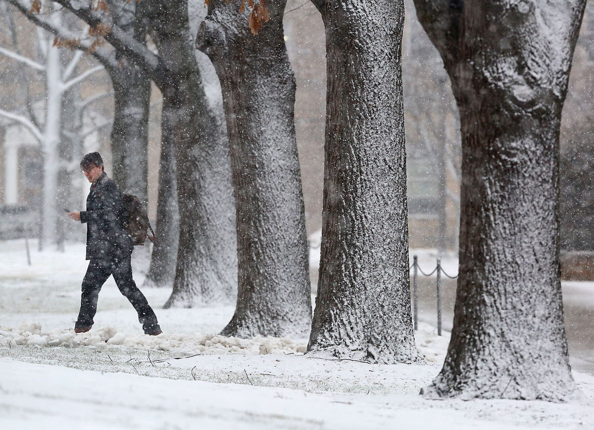
It may not surprise anyone that the average temperature from Dec. 1 to Feb. 29 this season in Madison was 5.67 degrees above normal, with most of that surplus accumulated during an extremely warm December that was 12 degrees above average.

There are other ways to assess the winter severity that are less local in nature. Four times each day we calculate the areal extent of air colder than minus 5 degrees Celsius at 1 mile above the surface using weather data supplied by the National Center for Environmental Prediction. Averaging the four measurements per day together creates a daily value of the areal extent of this “cold pool.”

Despite the fact that our last two winters were either normal (last year) or well below normal (2013-14) in Madison, around the entire Northern Hemisphere those winters set back-to-back records for the smallest average cold pool areas (warmest winters) in the last 67 years.

Though we did not set a record, this season’s cold pool was the seventh smallest on record. Six of those seven years have occurred since 2000-01 indicating a trend toward overall hemispheric winter warming. In fact, over the last 67 winter seasons, the 90-day December-January-February average areal extent of this low-level cold air has systematically decreased.

The best explanation for this long-term trend is that the Earth is warming as a result of changes in the chemical composition of the atmosphere induced by the burning of fossil fuels.

Category: Meteorology, Seasons

Comments Off on How severe has this winter been?

What is “sea smoke” and where is it usually seen?

We recently got a question from a reader who had heard the term “sea smoke” while traveling near Superior on a windy, cold winter day.

Amazingly, sea smoke has a very similar physical origin to the “fog” we often encounter as we take a shower.

"Sea Smoke" rises over the Milwaukee River where it meets Lake Michigan, in Milwaukee.  Sea smoke comes from the rapid addition of water vapor to the air when really cold, dry air moves over an open body of relatively warm liquid water. (Photo credit:  Jeffrey Phelps, Associated Press archives)

“Sea Smoke” rises over the Milwaukee River where it meets Lake Michigan, in Milwaukee. Sea smoke comes from the rapid addition of water vapor to the air when really cold, dry air moves over an open body of relatively warm liquid water. (Photo credit: Jeffrey Phelps, Associated Press archives)

Fog is a cloud that develops directly above the surface of the Earth. Clouds are composed of tiny liquid water droplets whose diameters measure about 20 millionths of a meter. Invisible water vapor can condense into liquid water when the air containing the vapor becomes saturated.

Sea smoke arises from rapid addition of water vapor to the air, occasioned by really cold, dry air moving over an open body of relatively warm liquid water. In such a case, water vapor is added to the air through evaporation off of the liquid water surface.

So long as there is not very much ice on Lake Superior, the invasion of cold, dry air from Canada across the lake can readily produce this sea smoke.

If it is windy as well, which is usually the case, the sea smoke can be fashioned into dramatic, tornado-looking structures known as “steam devils.”

Apparently the bluffs on the north shore of Lake Superior at Duluth are a prime spot for viewing these fascinating natural wonders though one must be willing to endure pretty cold conditions to watch them.

Category: Phenomena, Seasons

Comments Off on What is “sea smoke” and where is it usually seen?

What is “black ice?”

Frozen air bubbles are trapped under ice at Tenney Park.  Clear ice -- such as hazardous black ice -- has no air bubbles in it, while lots of trapped air makes an object look white. (Photo credit:  Mike Devries, The Capital Times archives)

Frozen air bubbles are trapped under ice at Tenney Park. Clear ice — such as hazardous black ice — has no air bubbles in it, while lots of trapped air makes an object look white. (Photo credit: Mike Devries, The Capital Times archives)

The ice is clear because no air bubbles are trapped in the ice. Lots of trapped air makes an object look white. Snow looks white because of air trapped between crystals.

The danger of driving on a road covered with black ice is that it can appear to be merely wet.

Drivers may not recognize the slippery conditions until it is too late and their car begins to skid.

If your car has a thermometer, its temperature reading can help you determine hazardous road conditions. If your car’s thermometer measures an air temperature near freezing, you should be wary of the road conditions.

Also, because bridges span the open air, they cool faster than the roadways around them. So, black ice may first occur on bridges. Hence the warning signs “Bridge May Freeze Before Road.”

If a sidewalk is covered with clear ice, it may look dark gray — like a wet sidewalk. This “grey ice” can be hazardous for walking.

Category: Seasons, Weather Dangers

Comments Off on What is “black ice?”

When does the last deep-cold spell of the winter usually come?

UW-Madison graduate student Marguerite Heckscher bundles against frigid cold temperatures as she makes her way across campus last month.  We might not be done with bitter cold for the winter, but we don't have much longer to go.  (Photo credit:  John Hart, State Journal)

UW-Madison graduate student Marguerite Heckscher bundles against frigid cold temperatures as she makes her way across campus last month. We might not be done with bitter cold for the winter, but we don’t have much longer to go. (Photo credit: John Hart, State Journal)

As we all work to recover from our recent cold spell, the natural question is: Are we done with bitter cold for the winter?

If we use an overnight low temperature below zero as the definition of a cold spell, then 26 of the 45 winters since 1970-71 have seen a cold spell after Feb. 15 — that’s 64 percent of the time. In fact, in 1974, the last below-zero night was not until March 24, the latest date in the last 45 years.

None of this bodes well for our chances this year. It should be noted, however, that in the last 18 years, 50 percent of winters have not had an additional cold spell after Feb. 15.

Recent research at the UW-Madison has documented a systematic warming of the lower troposphere during Northern Hemisphere winter over the past 66 seasons. Elements of that analysis have suggested that the hemisphere begins its warm up much earlier than the spring equinox, which occurs around March 22. In fact, the hemispheric warm up really accelerates in the first few days of March.

Though it is true that this hemispheric signal does not always translate to a warm up at any given location, it is comforting to know that the entire hemisphere is trying to shake off winter as early as the next couple of weeks. So whether or not we have just had our last below-zero night of the season, we really do not have that much further to go.

Category: Meteorology, Seasons

Comments Off on When does the last deep-cold spell of the winter usually come?

What is thundersnow?

A pedestrian on the UW-Madison campus makes his way through a line of snow-covered trees Tuesday as a winter storm moves through the area.  The storm was accompanied by thundersnow - lightning and thunder that occur during a snowstorm. (Photo credit:  John Hart, State Journal)

A pedestrian on the UW-Madison campus makes his way through a line of snow-covered trees Tuesday as a winter storm moves through the area. The storm was accompanied by thundersnow – lightning and thunder that occur during a snowstorm. (Photo credit: John Hart, State Journal)

Lightning is always accompanied by thunder. Lightning is a huge electrical discharge. Static charges form in a storm composed of ice crystals and liquid water drops. Turbulent winds inside the storm cause particles to rub against one another, causing electrons to be stripped off, making the particles either negatively or positively charged.

The charges get grouped in the cloud, often negatively charged near the bottom of the cloud and positively charged up high. This is an electric field, and because air is a good insulator the electrical fields become incredibly strong. Eventually a lightning bolt happens to neutralize the electric field.

The lightning bolt rapidly heats the air around it, to as hot as 50,000 degrees. This rapid warming causes the air to quickly expand and generate a sound wave.

That sound wave is thunder. Sound can interact with objects in multiple ways. Snowfall, and snow on the ground, tends to muffle the sound.

Thunder is common in the summer when cumulonimbus clouds have strong updrafts of warm, moist air that can rise upward to 40,000 feet or more. The air is above freezing near the ground and far below freezing near the top of the updrafts. This provides for lots of opportunity to generate an electric field.

Thunder is not common in winter as the storms are shallower than the summer convection. Most of the precipitation in winter occurs below about 20,000 feet and the turbulent motions are weaker. The colder temperatures also make for few liquid water drops in the winter storms.

Category: Phenomena, Severe Weather

Comments Off on What is thundersnow?