How severe was our just-completed meteorological winter?

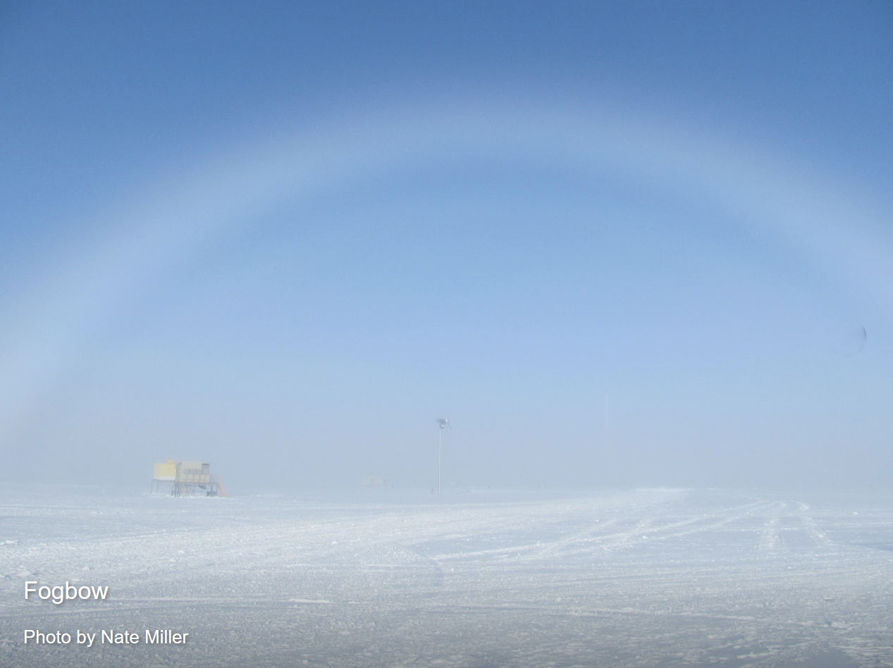
Employing data from the last 70 winter seasons (December, January and February) we have been examining the extent of air colder than 23 degrees over the Northern Hemisphere. This year’s winter season was the 23rd warmest of the last 70. Not particularly impressive considering that just three years ago we had the very warmest winter season in seven decades.

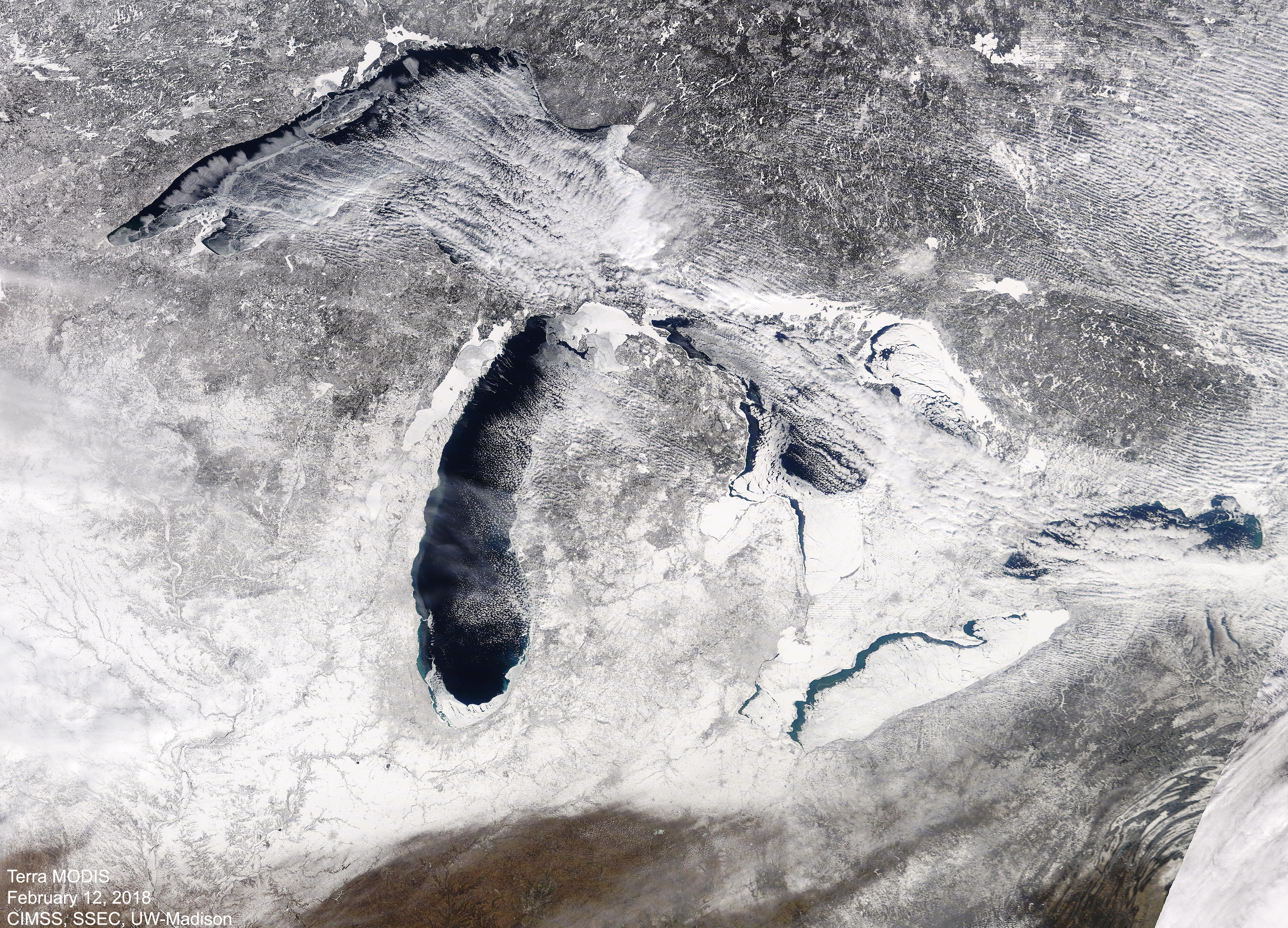
Using the same data, we have recently been attempting to develop a reasonable measure of the duration of the winter over a region encompassing the Great Lakes.

We divided the 70-year data set into two 30-year periods, 1948/49 to 1977/78 and 1980/81 to 2009/10. We then determined, for each 30-year period, the calendar days on which there was, on average, a 90 percent chance that the coldest day of the year was still yet to come. For instance, no winter in all those years recorded its coldest day as early as Dec. 1. Thus, on that day, the chance that a colder day is still to come is 100 percent.

In the older data set, the 90 percent day is Dec. 16 while the 10 percent day is March 3. Thus, one could make an argument that, on average, our winter extended from Dec. 16 to March 3 in that earlier period.

In the more recent period, the 90 percent-10 percent interval extends from Dec. 30 to Feb. 18 — nearly four weeks shorter than the prior period. This preliminary result suggests that as the Earth continues to warm, not only is winter less extreme, but it may also be substantially shorter.

Steve Ackerman and Jonathan Martin, professors in the UW-Madison department of atmospheric and oceanic sciences, are guests on WHA radio (970 AM) at 11:45 a.m. the last Monday of each month.
Category: Uncategorized

Comments Off on How severe was our just-completed meteorological winter?

Does the U.S. have a new weather satellite?

March 1st GOES-S satellite launch from
Kennedy Space Center. Photo credit: M. Deep

Yes! The U.S. launched a new weather satellite on Thursday March 1st.

This is the second in a series of four next-generation weather satellites now in orbit 22,300 miles above the Earth. It will reach its final orbit location in approximately two weeks, and will be referred to as GOES-17 (Geostationary Operational Environmental Satellite, number 17).

It will orbit above the western part of North America and will provide faster, more accurate observations for tracking wildfires, fog and storm systems and hazards that threaten the western United States, including Hawaii and Alaska.

Satellite data help forecast the weather in two ways: Expert forecasters interpret the images, and numerical weather-prediction models assimilate observations. Image analysis plays an important role in short-term forecasts, those that predict the weather one to three hours into the future. Numerical weather predictions are more useful in 12-hour to three-day forecasts.

While weather forecasters routinely analyze current satellite observations, most data never reaches forecasters’ eyes. Most satellite observations go directly into numerical weather-prediction models. In fact, today’s weather forecast models rely on satellite data more than any other weather observation. These data include the vertical distribution of temperature and humidity, cloud distributions, land and sea surface temperatures, location of volcanic ash and wind speeds and directions.

Today, more than 120 U.S. space-based instruments observe our planet.

Other nations have just as much interest in observing weather from space as does the U.S. International collaborations organized through the World Meteorological Organization offer a powerful way to understand weather on a global scale.

Steve Ackerman and Jonathan Martin, professors in the UW-Madison department of atmospheric and oceanic sciences, are guests on WHA radio (970 AM) at 11:45 a.m. the last Monday of each month.
Category: Uncategorized

Comments Off on Does the U.S. have a new weather satellite?

Is severe weather season about to begin?

As the threat of winter snows recedes across the country, it is replaced by the threat of severe weather (i.e., thunderstorms with hail, damaging winds and tornadoes.)

GOES-East satellite image of severe storms
in Oklahoma from March 2017. (CIMSS/SSEC)

The severe weather season, though broadly spanning March through August across the United States, is actually quite regional. It begins in March in the Southern states, moves to the southern Plains during April and May, and then heads further north toward the Great Lakes states during the summer. One of the basic underlying reasons for this northward migration of the severe weather threat during the spring and summer is the fact that the jet stream follows a similar seasonal cycle.

The jet stream is a ribbon of high wind speeds located near the top of the troposphere (some six miles above the surface of the Earth). The jet stream position is strongly tied to the southern edge of the dome of cold air that is centered on the North Pole. During the depths of winter, that cold dome expands considerably, extending nearly to the Gulf of Mexico. As the winter ends and spring approaches, the hemisphere begins to warm up and the cold dome shrinks dramatically. Its southern edge moves to central Canada by early summer.

The jet stream is associated with vigorous vertical circulations (upward and downward motions). The upward vertical motions are instrumental in producing thunderstorms. Thus, when the jet stream migrates north as the weather warms in spring and summer, so does the greatest concentration of severe weather outbreaks.

Steve Ackerman and Jonathan Martin, professors in the UW-Madison department of atmospheric and oceanic sciences, are guests on WHA radio (970 AM) at 11:45 a.m. the last Monday of each month.
Category: Uncategorized

Comments Off on Is severe weather season about to begin?

What is an ice fog?

Photo credit: Amber Arnold

Each year about 700 fatalities occur in the United States as a result of traffic accidents during fog. A combination of high speed and low visibility is often to blame.

A small patch of fog contributed to a fatal multi-car pileup near Verona Wisconsin on February 12.

Ice fog is fine ice crystals suspended in the air.
Fogbow photo credit: Nate Miller

Fog is a cloud in contact with the ground. When the relative humidity approaches 100 percent, water vapor condenses on tiny particles suspended in the air to form a suspension of small water drops. The air in contact with the ground can reach high humidity if it cools or when water from the surface evaporates into it. Either of these processes increases the relative humidity of the air.

Ice fog is a type of fog consisting of fine ice crystals suspended in the air. It occurs only in cold areas of the world, as water droplets suspended in the air can remain liquid down to minus 40 degrees.

More common than an ice fog is a freezing fog. A freezing fog occurs when liquid fog droplets freeze to surfaces, forming white soft or hard rime. If there is a very light wind on a day with freezing fog, the wind can blow the droplets in one particular direction. As a result, small spikes of ice can grow into the wind on objects like trees and fences.The freezing fog can make roadways very slippery and dangerous. The danger is compounded by the poor visibility that accompanies the fog.

Steve Ackerman and Jonathan Martin, professors in the UW-Madison department of atmospheric and oceanic sciences, are guests on WHA radio (970 AM) at 11:45 a.m. the last Monday of each month.

Category: Uncategorized

Comments Off on What is an ice fog?

Does weather impact beer making?

Silver Hops farm near Sun Prairie Wisconsin. 
(Photo credit: Alyssa Stang)

Weather impacts all crops, as all plants prefer certain climatic regimes.

Fermented grain is an important ingredient in beer brewing. It defines the alcohol content.

Hops are just as critical, as the flower buds of hop plants add unique flavors, aroma and bitterness to the beer.

Hops grow very fast and require a lot of water. As the Pacific Northwest of the U.S. gets a lot of precipitation, this is a major hop-growing region as irrigation needs are limited. Washington State produces almost three-quarters of the hops used in US beers, with Oregon and Idaho contributing the second most hops. A drought in those regions will significantly reduce yields of hops and impact the beer brewing economy, leading to higher prices and a change in taste of some brands.

In 2015 the hops growing region of the Northwest had an unusually warm winter that led to widespread drought. As a result of the warm winter, the Cascades got mostly rain and a substantially reduced snowpack resulted. By May, an important time for the hops to be watered, the area was starved for water as there was no snow to melt.

Hops are grown on a type of hemp plant and grow best in USDA hardiness zones 5 through 9, which includes Wisconsin. The Wisconsin Hop Exchange Cooperative is one group that is working to establish the state as a producer of high-quality hops.

If you are a beer drinker who likes hoppy IPAs, you might hope for the exchange to prosper and for the Northwest to avoid developing a drier climate.

Steve Ackerman and Jonathan Martin, professors in the UW-Madison department of atmospheric and oceanic sciences, are guests on WHA radio (970 AM) at 11:45 a.m. the last Monday of each month.
Category: Uncategorized

Comments Off on Does weather impact beer making?