Is there energy in snow?

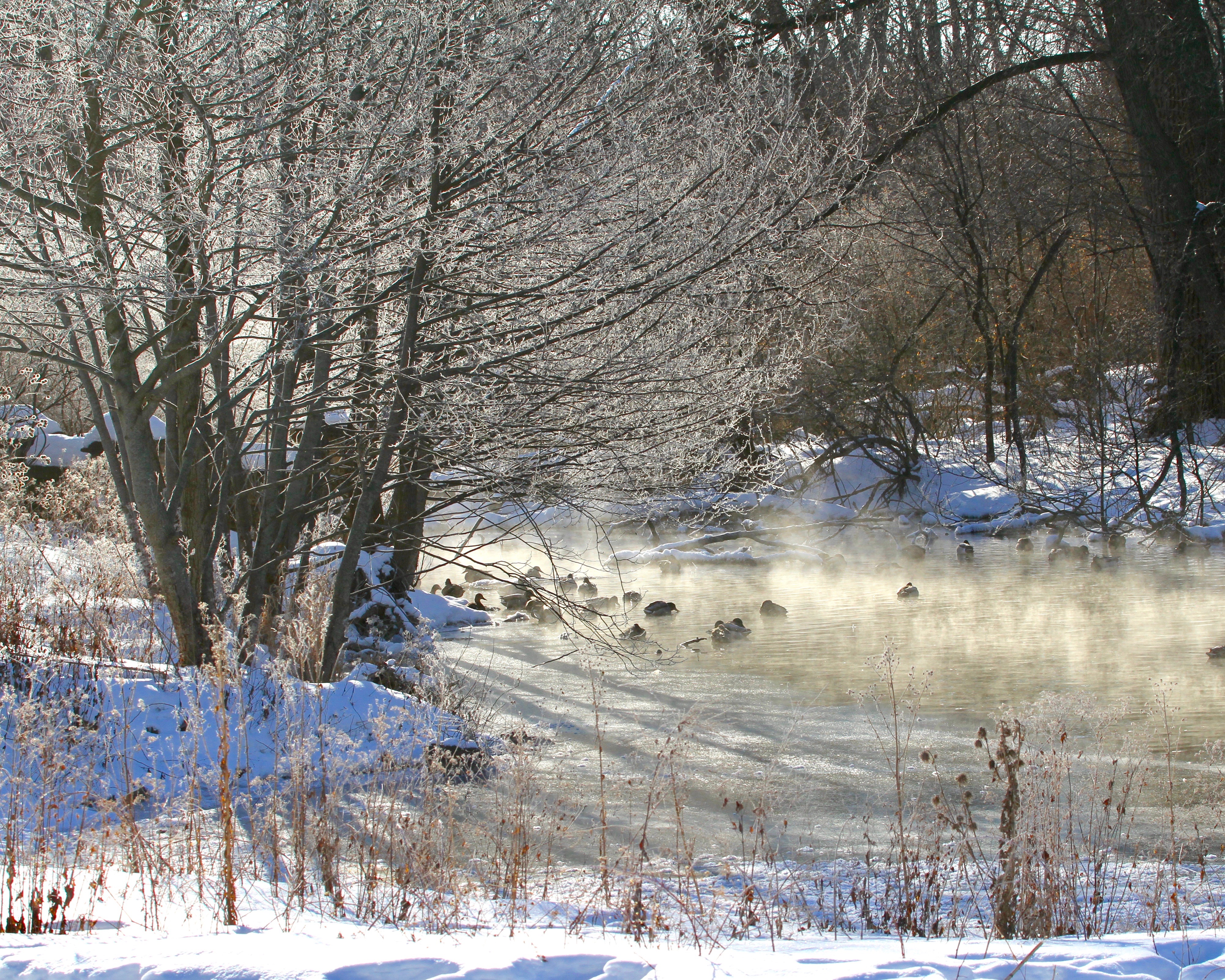
UW-Arboretum in winter: Hoar frost at the Duck Pond. (Photo credit: Fred Best, SSEC)

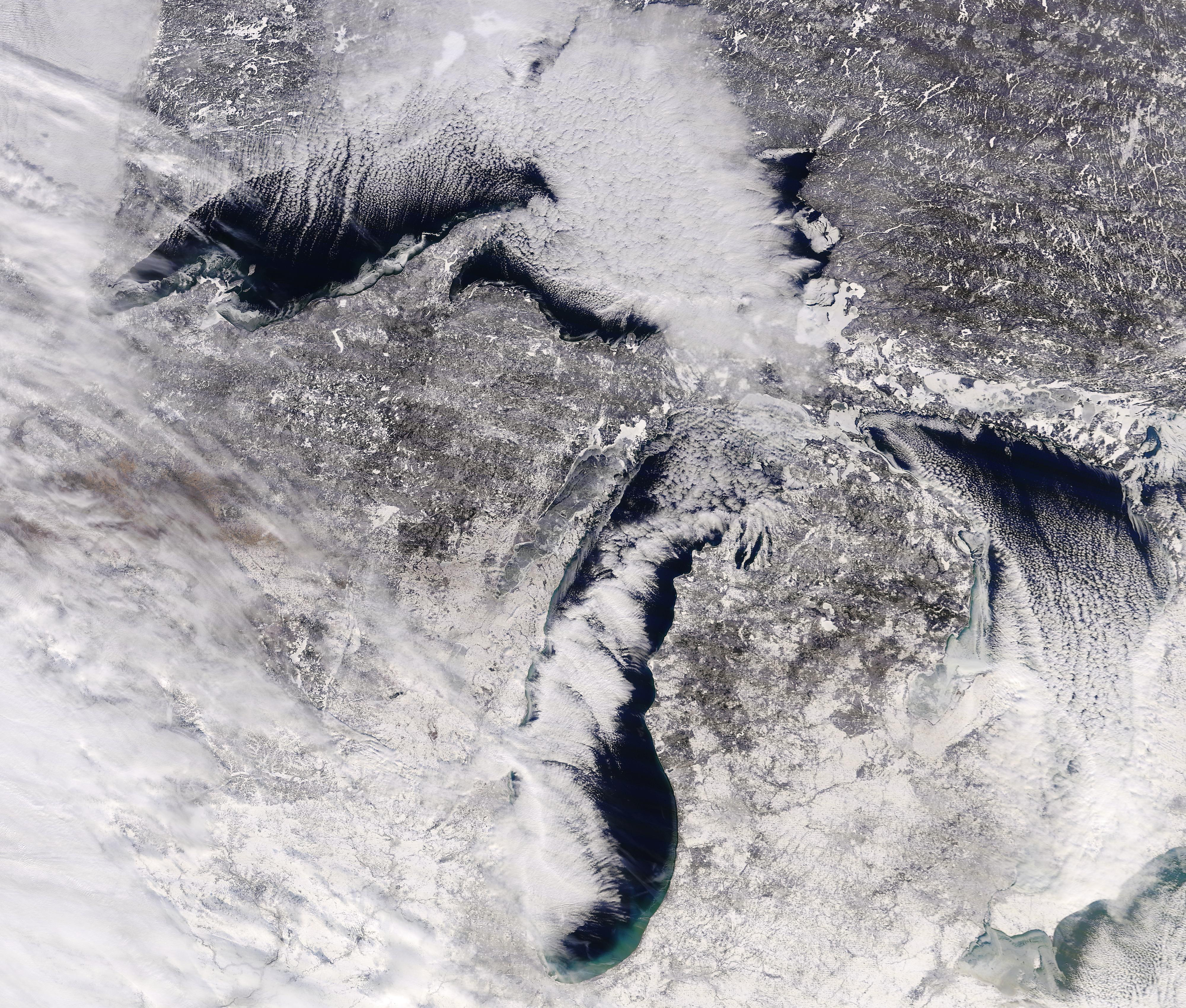
Since the beginning of this year, Madison and Dane County have received about 35 inches of snow.

Snow is a form of solid water and water is the only substance that occurs naturally in all three phases — solid, liquid and invisible gas — in the Earth’s atmosphere. Of course, that means that the 35 inches of snow began as the equivalent amount of water in the invisible vapor (gas) phase before it was transformed into solid water.

Melting ice into liquid water requires energy. Not surprisingly, energy is also required to transform liquid water into water vapor, the familiar process of evaporation. The particular amounts of energy needed to accomplish these changes of phase are known as latent heats — the latent heat of melting for the first one and the latent heat of evaporation for the second.

When a cloud of invisible water vapor condenses into a puddle of liquid water, the latent heat of condensation (equal to the latent heat of evaporation) is released to the environment. Also, when that puddle freezes into ice the latent heat of fusion (equal to the latent heat of melting) is similarly released, incoherently, to the environment.

Since we know the depth of liquid-equivalent precipitation involved in delivering us 35 inches of snow since Jan. 1, the area of Dane County, and the latent heats of condensation and fusion, we can calculate how much energy has been released to the atmosphere in the production of that much snow.

Without providing the details of the calculation, we can report that the amount of energy involved could power the entire Madison metro area for about 7.7 years. Clearly, there are huge amounts of energy involved.

Category: Meteorology, Seasons

Comments Off on Is there energy in snow?

What makes loud noises on very cold days?

Great Lakes Region during winter via satellite.

Thursday night and Friday morning, several people reported hearing loud noises, thinking something fell on their house or gunshots were fired.

These sounds result from what are called frost quakes or ice quakes. They occur when a rapid drop in temperature leads to a quick freeze.

When the temperatures plunge rapidly below freezing, water in the ground will freeze and expand. As a result, the rock or soil bursts, rather than just slowly expands. The rapid bursting sounds can be accompanied by shaking.

Frost quakes are generally too small to be recorded by a seismograph, which is designed to measure the strength of earthquakes.

There are four main precursors for a frost quake event. First the region must be in a climate zone that experiences cold Arctic air masses, which is the case for us.

Second, the ground must contain water, usually from rain or melting of snow.

Third, there should not be more than about 6 inches of snow on the ground. More than that amount of snow serves as insulation and keeps the ground warm.

Fourth, a rapid drop in temperature over a 16- to 48-hour period, from approximately freezing to near or below zero, needs to occur.

If you think about the weather we had over the last 10 days, the conditions were ripe for frost quakes. The weekend of Feb. 3 and 4 saw temperatures near 40 degrees, and rain that melted snow and provided liquid water to be absorbed by the ground. Thursday night we saw a rapid drop in temperature, falling to below zero.

Category: Phenomena, Severe Weather

Comments Off on What makes loud noises on very cold days?

How good are the groundhog predictions?

The predictions made by this folk forecast are correct only about 40 percent of the time — vastly inferior to what is delivered by modern science. If you flip a coin, you’ll be right close to 50 percent of the time.

This year’s prediction by the furry animal is for an early spring. As for a more scientific approach, temperatures over the next six weeks look about average.

The forecast made on Groundhog Day is an example of predicting the weather based on folklore. If the groundhog comes out of its hole and sees its shadow, we are in store for 40 more days of winter.

Long before computers, the Weather Channel and the internet, humans needed weather forecasts. Farmers and sailors particularly needed to know if storms were approaching. Over time, various folklore forecasts, often in the form of short rhymes, were devised and passed down through the generations.

Although memorable, the folklore forecasts are of uneven quality — some good, others bad.

The roots of Groundhog Day go back to the 6th century. Feb. 2 is 40 days after Christmas and is known as Candlemas. On this day, candles that are used for the rest of the year are blessed. This is also about the midpoint in winter, in meteorological not astronomical terms. The forecast rhyme goes:

If Candlemas Day is bright and clear
There’ll be two winters in that year;
But if Candlemas Day is mild or brings rain,
Winter is gone and will not come again.

If the day is bright and clear, the groundhog “sees” his shadow and we have more winter. Of course, after Feb. 2, there are only 47 days left of astronomical winter — which ends on or about March 21, so the forecast accuracy should be more than luck.

Of course, the weather conditions on Feb. 2 at single locations like Sun Prairie or Punxsutawney, Pennsylvania, tell us very little about the weather for the rest of the winter season. Right or wrong, they are fun community celebrations.

Jimmy the Groundhog famously bites the ear of then-Sun Prairie Mayor Jon Freund in 2015!

Category: Meteorology, Seasons

Comments Off on How good are the groundhog predictions?

How low will temperature go?

Arctic air mass plunging into the Great Lakes Region. (Image credit: ClimateReanalyzer.org)

On Jan. 30, 1951, the morning low temperature in Madison fell to minus 37. Nearly 12 years later, on Jan. 15, 1963, the mercury dropped to precisely minus 30.

These two days remain the only dates in Madison’s recorded history with temperatures as cold as minus 30. On those record-setting days a number of characteristic meteorological conditions were in play to drive the temperature to such extremes.

A healthy blanket of fresh snow on the ground is one such condition. Snow has two properties that contribute to cooling. First, it insulates the ground, effectively keeping the vast reservoir of infrared (thermal) energy in the ground.

Second, snow is very good at emitting infra-red energy, so the top surface of the snow can cool rapidly over the course of a long winter night while energy from the underlying surface is kept from reaching the top of the snow. If the wind is light, the frigid air cooling on top of the snow tends to pool in low-lying areas, such as Truax Field at Dane County Regional Airport.

Finally, when the air in the lowest levels of the atmosphere is also very cold that ensures the air is very dry (has little water vapor in it). This lack of water vapor further enhances the cooling that can be accomplished by emission of infrared radiation.

With the exception of really light winds, all of these variables will be at historic levels early Wednesday morning. That leads us to think that we will make a run at the all-time lowest temperature in Madison that morning.

With slightly stronger winds likely to characterize that morning compared to the prior minus 30 mornings in our past, even if the temperature does not approach the record, the combination of cold and wind will bring wind chills down near or past minus 60 — extremely dangerous conditions.

Be very careful venturing outside during this coming week – we will be talking about its cold for years to come.

Category: Meteorology, Seasons, Severe Weather

Comments Off on How low will temperature go?

Is winter finally here?

January 21 Terra MODIS view of wintry Wisconsin (Photo credit: CIMSS)

Though we have enjoyed a remarkably warm December and first half of January in Madison this year, we are now entering deep winter.

The period from Dec. 1 through Jan. 17 has averaged 7.4 degrees above normal this year and has contributed to our breaking  or approaching several obscure, but nonetheless, interesting records of prolonged warmth — provided courtesy of Jordan Gerth at the Space Science and Engineering Center at UW-Madison.

We have already broken the previous record for latest date with a low temperature of 10 degrees or colder, set on Jan. 11, 1914.  This year, we made it to Saturday, when the overnight low was zero.

A related measure, the record for the number of consecutive days with a low temperature of 10 degrees or warmer, had already been broken this year.  The prior record was 324 consecutive such days (Feb. 10, 1997, to Dec. 30, 1997).  The streak that began Feb. 14, 2018, ended Saturday, meaning we set a new record of 339 days.

As of Monday, we will likely edge up to the fifth spot in the latest first day (after July 1) for a low temperature below zero.  The all-time latest occurred on March 3, 2002 — nearly a full month later than its nearest competitor.

Similarly, the number of consecutive days with a low temperature warmer than zero ended Sunday at 341 days.  The all-time record in this category is 378, set between Feb. 18, 2001, and March 2, 2002.

So, even as you are cursing the cold in the last week of January, remember it has been a remarkably long run of unseasonably warm weather.

Category: Meteorology, Seasons, Severe Weather

Comments Off on Is winter finally here?