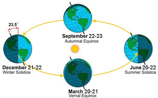
This winter has already delivered some notable disasters, and it is important to carefully consider the anatomy of such high impact weather events in order to, as accurately as possible, understand to what degree an event is attributable to the background climate change.
The frightening wildfire in Boulder County, Colorado, on Thursday was a conspiracy of somewhat routine and unusual circumstances. So-called “Front Range windstorms” occur in some degree nearly every year in the immediate lee of the Rockies in Colorado and, though they are not exclusively a wintertime phenomena, they are much more common in the cold season. A comprehensive list of such events dating back to the winter of 1966-67, with a host of additional statistics regarding the actual events, is available at go.madison.com/boulder.
Last week’s event made national news because it was coupled with wildfires enabled by the notable drought that has plagued the Front Range throughout the fall and early winter. A number of locations reported wind gusts up to 115 mph, which propelled the fire forward at nearly the speed of the wind since the grasses that conveyed the flames were so unusually dry. As is widely known now, a large number of homes in the Boulder area were consumed by these flames and thousands of people were forced to hastily evacuate with little notice.
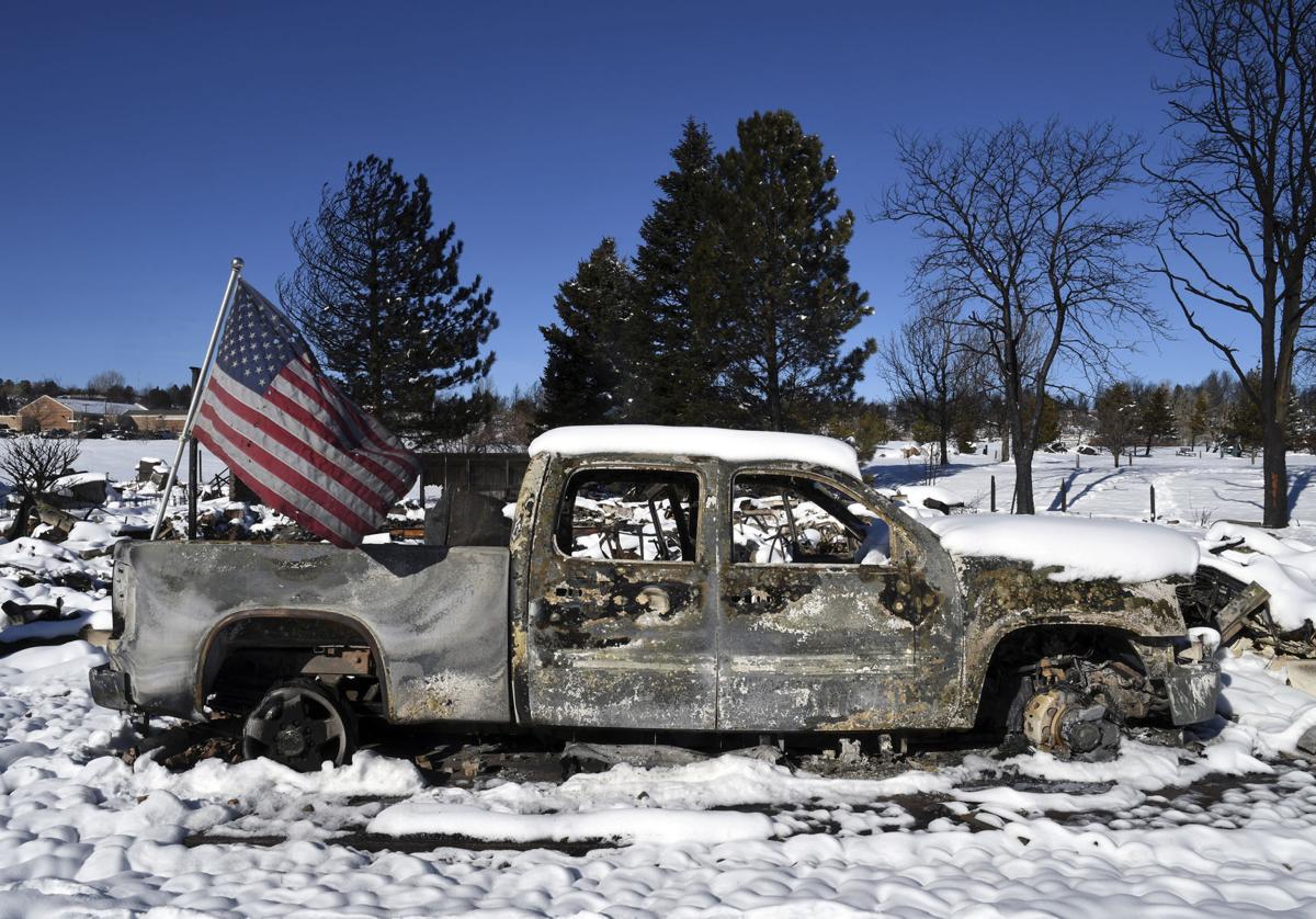
As if to add insult to substantial injury, Friday evening into Saturday, the region received a substantial snowfall — sufficient, had it happened on Wednesday, to have completely suppressed the fire threat.
The drought contribution to this event might have a link to the changing climate — the high winds, however, almost certainly do not.
Steve Ackerman and Jonathan Martin, professors in the UW-Madison Department of Atmospheric and Oceanic Sciences (AOS, are guests on WHA radio (970 AM) at 11:45 a.m. the last Monday of each month and authors of a weekly weather artcle in the Wisconsin State Journal.