In 1803, British pharmacist and chemist Luke Howard devised a classification system for clouds. It has proved so successful that meteorologists have used Howard’s system ever since, with minor modifications.
According to his system, clouds are given Latin names corresponding to their appearance — layered or convective — and their altitude. Clouds are also categorized based on whether or not they are precipitating.
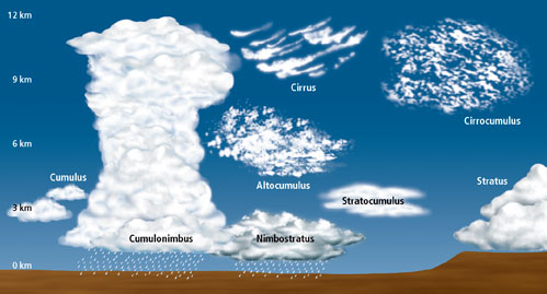
Layered clouds are much wider than they are tall. They generally have flat bases and tops and can extend from horizon to horizon. The Latin word “stratus” describes the layered cloud category.
Convective clouds are as tall, or taller, than they are wide. These clouds look lumpy and piled up, like a cauliflower. Convective cloud types are indicated by the root word “cumulo,” which means “heap” in Latin. Convective clouds may become very tall and are rounded on top.
Clouds are also classified by their altitude and their ability to create precipitation. The root word “cirro,” meaning “curl,” describes a high cloud that is usually composed of wispy ice crystals. The Latin word “alto,” or “high,” indicates a cloud in the middle of the troposphere that is below the high cirro-type clouds. The prefix or suffix “nimbus,” or “rain,” denotes a cloud that is causing precipitation.
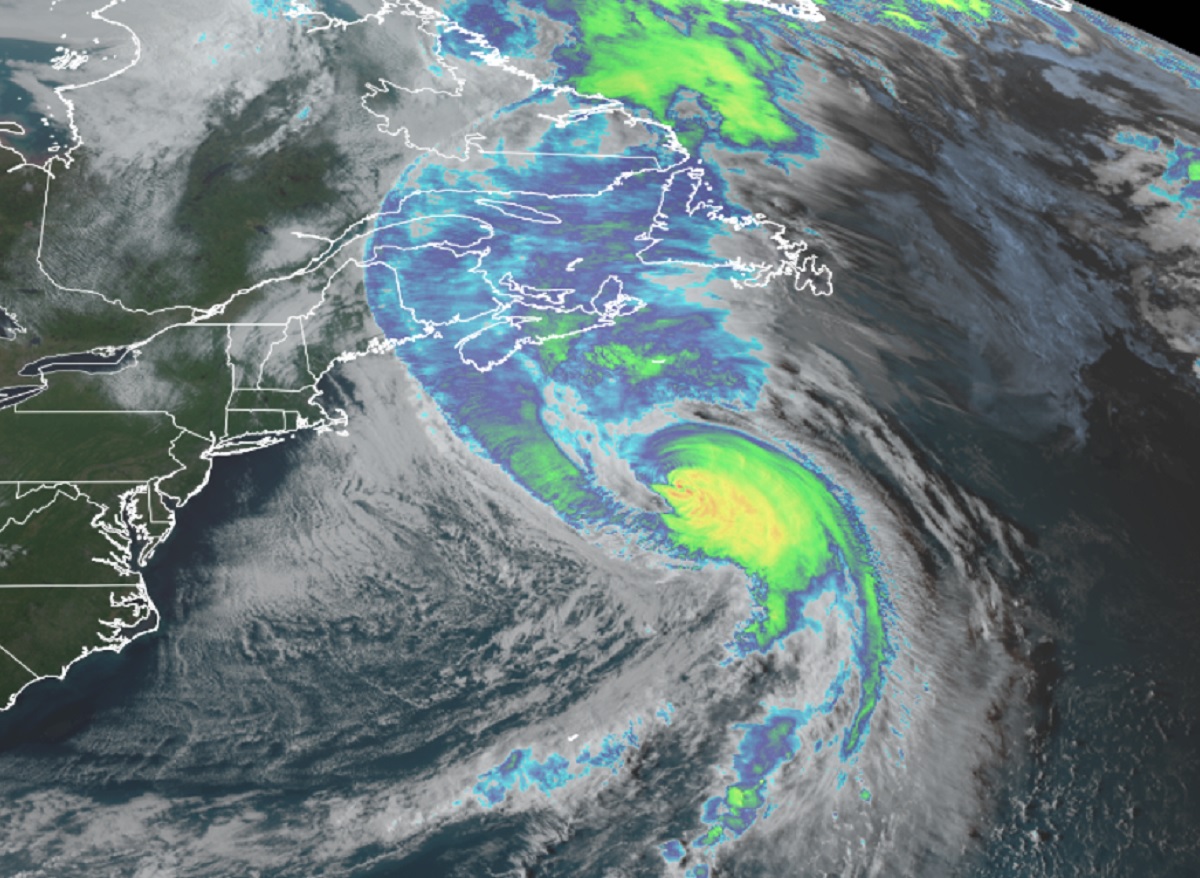
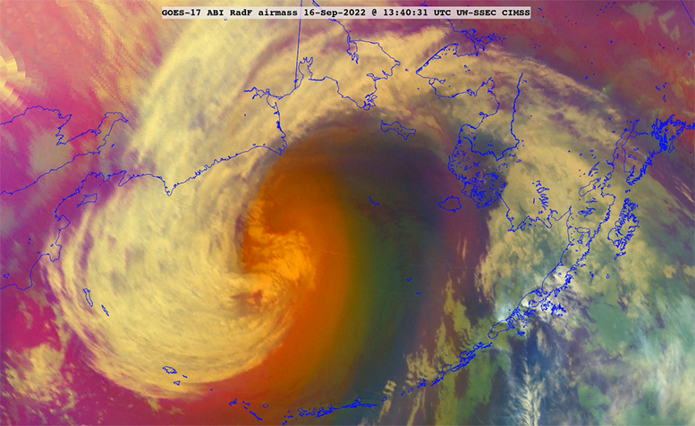
Using the combination of appearance, altitude and ability to make precipitation, a wide range of cloud types can be identified. The 10 basic cloud types are cirrus, cirrostratus, cirrocumulus, altostratus, altocumulus, cumulus, stratus, stratocumulus, nimbostratus and cumulonimbus.
Many clouds, particularly convective and stratus clouds, have a flat bottom. The base of those clouds marks the lifted condensation level (LCL) of the rising moist air from below. As the warm moist air continues to rise from below, the base of the cloud remains the same.
Steve Ackerman and Jonathan Martin, professors in the UW-Madison department of atmospheric and oceanic sciences, are guests on WHA radio (970 AM) at 11:45 a.m. the last Monday of each month. Send them your questions at stevea@ssec.wisc.edu or jemarti1@wisc.edu.