How are the National Weather Service and Wisconsin connected?

The roots of our National Weather Service have a distinctive Wisconsin flavor. Professor Increase A. Lapham, a University of Wisconsin professor at the time of the founding of the university, was the first official Smithsonian Institution weather observer in Milwaukee and long argued for the establishment of a national weather observation network.

With the election of President Ulysses S. Grant in November 1868, Lapham and Rep. Halbert Paine, the U.S. congressman from Milwaukee, thought the time was right to pursue this goal. Grant had developed a keen sense of the influence of weather on military operations through his experiences in the Civil War.

On Feb. 2, 1870, Paine introduced a Joint Congressional Resolution that tasked the Secretary of War “… to provide for taking meteorological observations at the military stations in the interior of the continent and at other points in the States and Territories … and for giving notice on the northern [Great] lakes … of the approach and force of storms.”

Congress passed the resolution with little hesitation and a week later, on Feb. 9, 1870, President Grant signed it into law – effectively establishing the first iteration of the National Weather Service (then called the U.S. Army Signal Service). Operation of the Signal Service began Nov. 1, 1870, and one week later, Lapham issued the first high wind warning for the Great Lakes from Chicago. The forecast was accurate and was credited with saving considerable property and protecting lives.

The Wisconsin connection to the National Weather Service continues to this day, as the current director of the NWS is a UW-Madison graduate, Dr. Louis Uccellini.

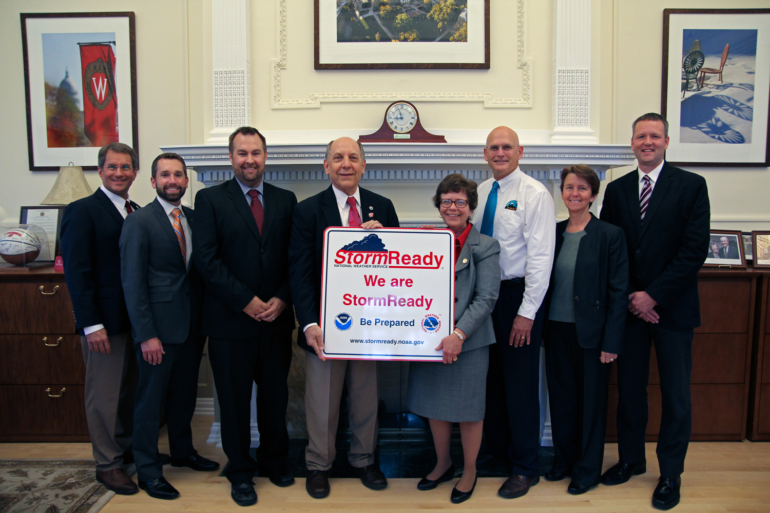
NWS Director Louis Uccellini awards ‘Storm-Ready’ plaque to UW-Madison Chancellor Becky Blank in 2015. Photo credit: Bill Bellon

Steve Ackerman and Jonathan Martin, professors in the UW-Madison Department of Atmospheric and Oceanic Sciences, are guests on WHA radio (970 AM) at 11:45 a.m. the last Monday of each month.

Category: Meteorology

Comments Off on How are the National Weather Service and Wisconsin connected?

Who is Increase Lapham?

Portrait of Increase Lapham (Photo credit: Wisconsin Historical Society archives)

Many consider Increase Lapham to be one of Wisconsin’s greatest scientists.  Though never formally educated, Lapham demonstrated an early talent for topographical sketching and became an engineer and surveyor of canals in the 1830s.

He was born in Palmyra, New York, on March 7, 1811, the fifth of 13 children in a poor Quaker family.  Early in 1836, he was invited to Milwaukee as chief engineer in charge of building the Rock River Canal (which was never built).

Lapham made contributions in many scientific endeavors including cartography, geology, ecosystems science, and Native American history of Wisconsin.  One of his foremost interests was weather and climate.

He sent frequent reports of maritime casualties to Milwaukee’s congressional representative, Gen. Halbert Paine, which eventually prompted Paine to introduce a joint resolution on Feb. 2, 1980, requiring the Secretary of War to “provide for taking meteorological observations at the military stations in the interior of the continent … and for giving notice on the northern lakes (the Great Lakes) … of the approach and force of storms.”

The resolution passed and one week later, President Ulysses S. Grant, who personal experiences during the Civil War had long ago convinced him of the utility of meteorological information for military activities, signed it into law.

On Nov. 1, 1870, the United States Army Signal Service — what would grow to become the National Weather Service — began operations.

On Nov. 8, 1870, Dr. Increase Lapham, who had been the catalyst for the formation of the Signal Service, issued its first official storm warning for the waters of Lake Michigan.

Category: Uncategorized

Comments Off on Who is Increase Lapham?

Why do bridges ice before the road?

Compared to a roadway, a bridge has more surface area to exchange energy with the atmosphere, and thus will cool down to the air temperature — and freeze — quicker. (Photo credit: Beaver Dam Daily Citizen archives)

Living in a cold climate, we are used to seeing signs that say “bridge freezes before road.”

The fundamental reason is that a bridge hangs above the ground, while the roadway rests on the ground. Water on a road or bridge will freeze once the surface becomes cold enough. So, the bridge must cool faster than the roadway.

Whether something warms or cools is related to its energy gains and losses. So, as you stand facing an evening bonfire, your front warms because it gains more energy than it loses, while your back cools as it loses more energy to the cooler night air than it gains.

The energy losses from a bridge occur along the top surface and also along its side and bottom. Compared to a roadway, a bridge has more surface area to exchange energy with the atmosphere, and thus will cool down to the air temperature quicker.

Many bridges are made of metal and concrete, both of which are good heat conductors. Thus, when cold air comes in contact with the bridge surfaces, heat is quickly transferred from the bridge to the colder air, cooling the bridge and its surfaces.

A roadway also loses heat from its surface to the cold air above. However, the road surface also gains energy from the ground. So, while the roadway will cool down, it does not cool as fast because of the energy gains it gets from the warmer ground below. Because of those extra energy gains, the roadway cools more slowly and doesn’t form ice as quickly as the bridge.

Category: Uncategorized

Comments Off on Why do bridges ice before the road?

What’s happening with the ozone hole?

The ozone hole is a region where there is severe depletion of the layer of ozone — a form of oxygen — in the upper atmosphere that protects life on Earth by blocking the sun’s ultraviolet rays. (Photo credit: NASA)

Encouraging news arrived this week regarding the size of the Southern Hemisphere ozone hole. NASA reported that this year’s ozone hole (which peaked on Sept. 11 at 7.6 million square kilometers) was the smallest since 1988, just years after the problem was first identified.

Though a number of factors contribute to the annual size of the ozone hole, it is beyond doubt that the leading factor is the reduction of chlorofluorocarbons (CFCs), industrial chemicals long used for refrigeration among other things.

Just a few years after the ozone hole was detected via satellite, the industrialized nations of the world, meeting in Montreal in 1987, adopted what is known as the Montreal Protocol. That international agreement, based upon the consensus scientific understanding of the problem, placed prudent restrictions on the use of CFCs. The result of this scientifically informed policy-making has been a gradual but systematic healing of the ozone hole.

This should serve as a leading example of the power of scientific analysis and understanding to shape important environmental policy. The world is facing a slower burning crisis as a result of human-induced changes to the atmosphere that have, in turn, begun to change the climate.

There is no lack of scientific consensus of the roots of this problem nor any shortage of science-based prescriptions of seeking its remedy. The time has long passed for our society to seriously debate, and then begin to take, the bold actions necessary to meet this crisis. Our scientific and industrial infrastructure is more than sufficient to meet this pressing challenge — we have successfully done so before.

Steve Ackerman and Jonathan Martin, professors in the UW-Madison department of atmospheric and oceanic sciences, are guests on WHA radio (970 AM) at 11:45 a.m. the last Monday of each month.

Category: Climate, Phenomena

Comments Off on What’s happening with the ozone hole?

Is the Fall changing?

Satellite image of Wisconsin, October 2012

As we enjoyed some of the last really nice autumn weather here in Madison last week, the question arose as to whether the fall has changed in any perceptible way over the past several decades.

We have reported before in this column on the observed trends in the areal extent of lower tropospheric cold air over the Northern Hemisphere since 1948. During the winter months, that areal extent has systematically shrunk over the last 70 years, consistent with a modest but detectable warming of the planet.

A more recent analysis has considered the onset of the winter from the same perspective. We have measured the areal extent of minus 5 degrees Celsius air at about 1 mile above the surface for every September and October since 1948. Adding up each day’s areal extent, we have determined on what day the sum of these values first reaches 1 billion square kilometers.

It turns out that it used to be around Oct. 16 that we first met that criteria in 1970 and that now it is more like Oct. 23 — meaning the fall advances about a week slower today than it did 50 years ago. This year, we will accrue our first billion square kilometers of cold air on Oct. 21 — slightly early compared to the current trend.

Locally, the warm autumn weather is likely to end rather abruptly on Tuesday and we will remain cold for much of next week. The transition to winter is about to begin.

Steve Ackerman and Jonathan Martin, professors in the UW-Madison department of atmospheric and oceanic sciences, are guests on WHA radio (970 AM) at 11:45 a.m. the last Monday of each month.

Category: Uncategorized

Comments Off on Is the Fall changing?