We are now a couple of days into what is easily the coldest air we have seen this entire winter.
Until a week ago, complaints about the lack of snow were also justified in the southern part of the state. However, two recent snow events have even changed that situation so that, as of Monday, Madison suddenly is 7.3 inches ahead of normal for the snow season, which started July 1.
As far as temperature goes, through Wednesday we had averaged 5.85 degrees Fahrenheit above average per day since Nov. 1 — a remarkably extended period of above-average warmth.
Of course, we’re well below normal now and should be that way for much of the coming week.
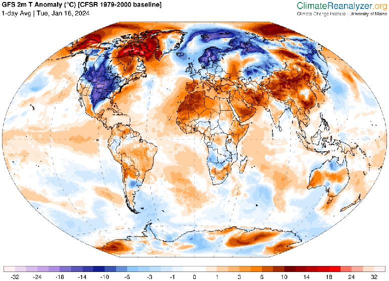
The unusual warmth that has predominated has been a hemispheric phenomenon throughout the same period. As measured by considering the areal extent of air colder than 23 degrees at the 850 mb level, which is just about 1 mile above the surface, November was the 21st-warmest in the past 76 years, while December was the 11th-warmest in that same stretch.
Even though we are in the midst of a pretty intense cold wave right now, the first 10 days of January were the fifth-warmest such stretch in the past 76 years.
So, all in all we have had a pretty good run until this past weekend regarding the intensity of this winter. It is difficult, if not impossible, to say what will happen the rest of the way, though it is certainly the case that, at least climatologically, it is the next 20 or so days that we have to worry about most in terms of cold. Once we get past early February, and the day is noticeably longer, it is really difficult for any frigid air manufactured at high latitudes in Canada to make it all the way south to us without being strongly modified as it comes.
Steve Ackerman and Jonathan Martin, professors in the UW-Madison department of atmospheric and oceanic sciences, are guests on WHA radio (970 AM) at 11:45 a.m. the last Monday of each month. Send them your questions at stevea@ssec.wisc.edu or jemarti1@wisc.edu.