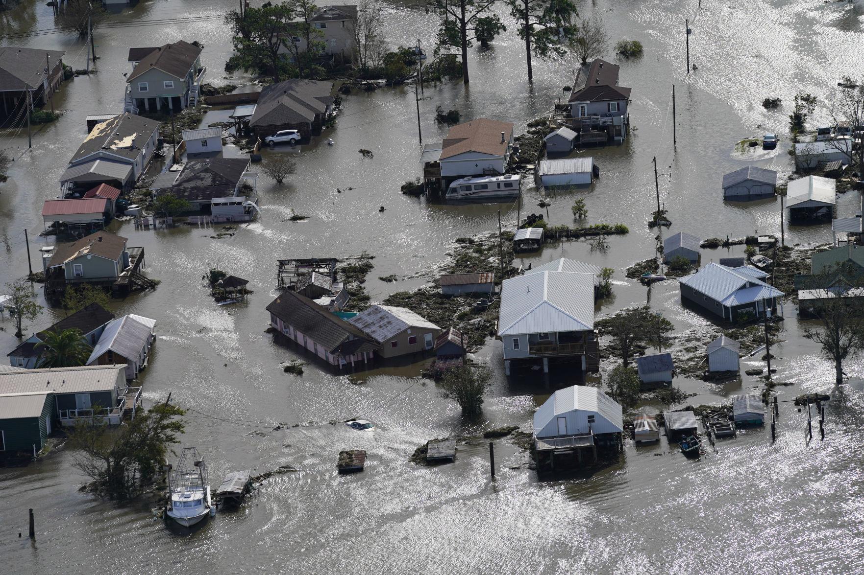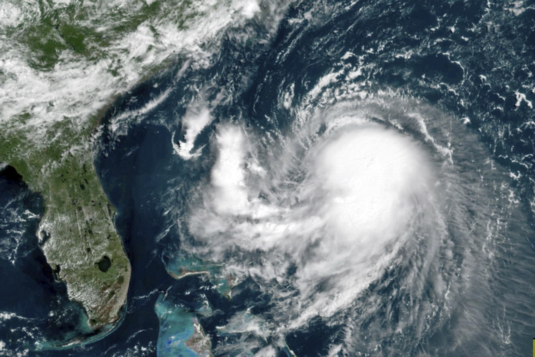
When hurricanes make landfall, they can spawn tornadoes.
The friction over land is much stronger than friction over water, where the hurricanes form. Frictional force quickly weakens the farther you get from the ground.
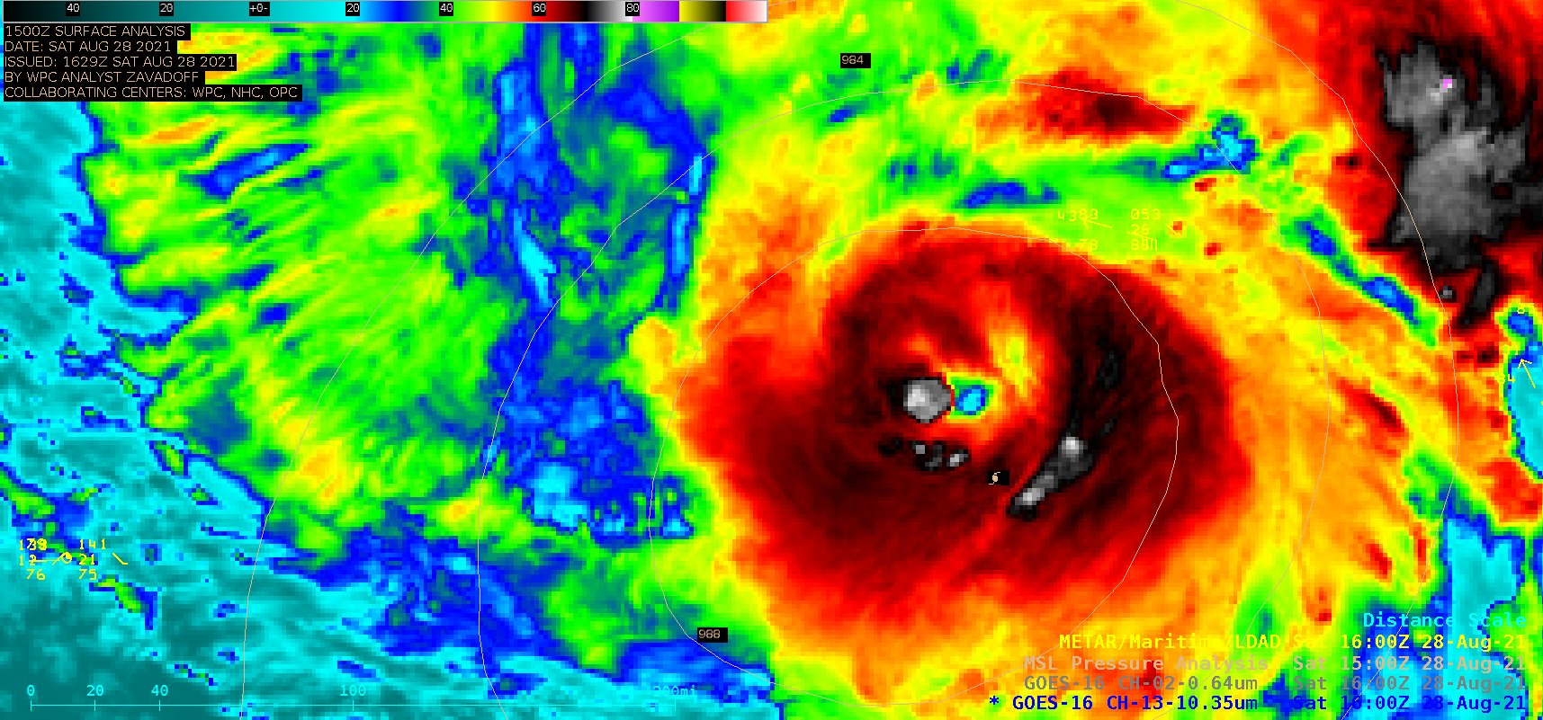
When a hurricane makes landfall, the winds near the ground slow down, while the upper-level winds keep their momentum. This change in the wind speed — and sometimes direction — with height is called a “wind shear.” This can lead to a column of air rotating that can generate a weak tornado.
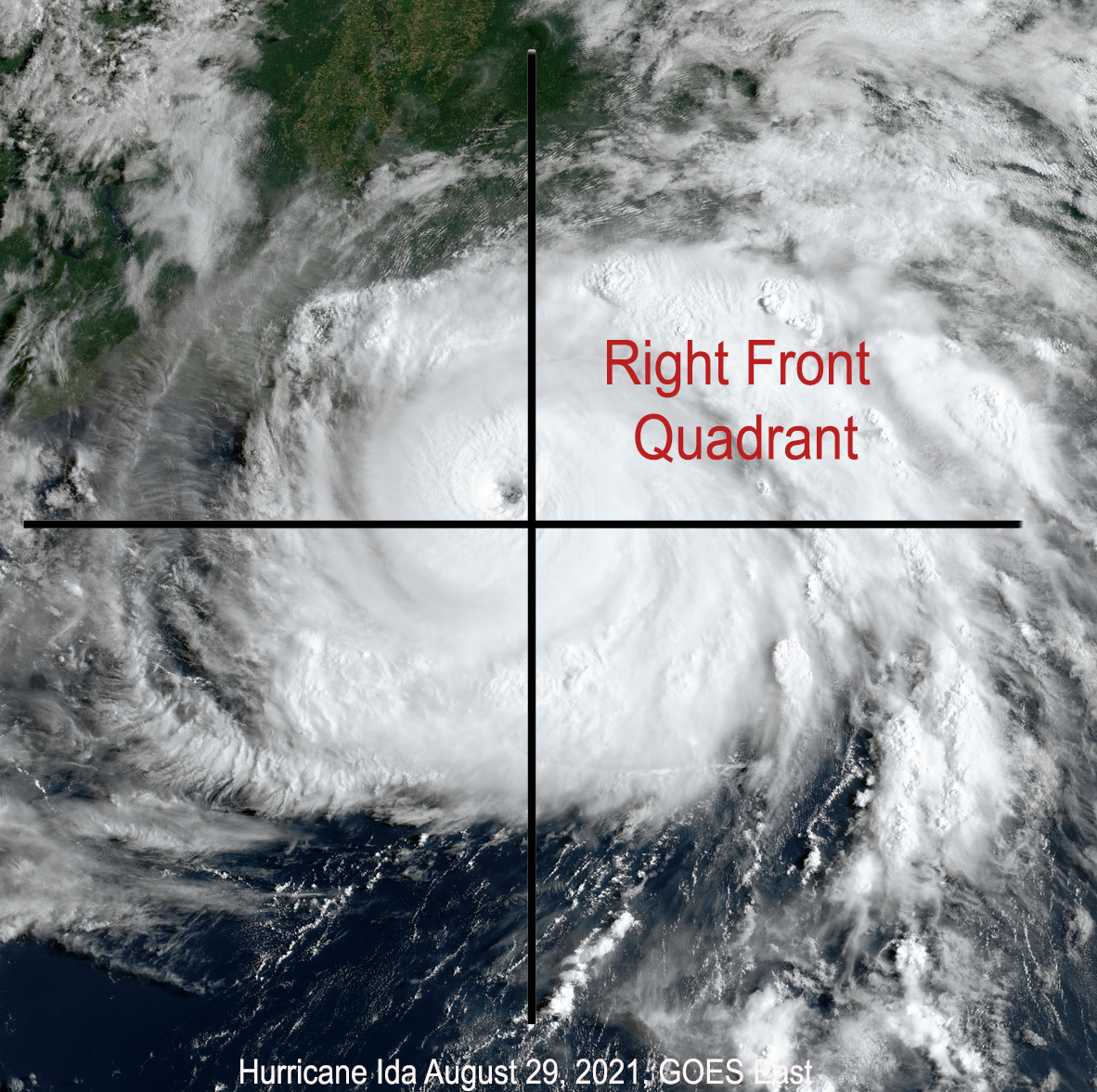
The tornadoes spawned by hurricanes typically occur in the right front quadrant of the storm and usually within 12 hours after landfall. The tornadoes are very often embedded in rain bands. Unfortunately, meteorologists cannot accurately predict if a hurricane will produce tornadoes.
On average, Florida had 60 tornadoes a year during the period 1989 to 2019. They are mostly associated with hurricanes. Compare this to Wisconsin, which averages 24; Minnesota, averaging 40; and Michigan, which averages 15 tornadoes a year.
The tornado’s strength is determined by the damage the tornado does, which is an estimate of the wind speed of its rotating winds. All tornadoes are assigned a single number from the Enhanced Fujita scale according to the most intense damage caused by the storm.
This scale is based on the research of professor Ted Fujita and uses a set of 28 indicators, such as damage to barns, schools and trees. The degree of damage is used to determine the EF scale of every tornado. The weakest tornado is EF0, with wind speeds of 65-85 mph that will peel the surface off some roofs, cause some damage to gutters or siding and break off tree branches.
Hurricanes by themselves cause natural disasters, so even weak tornadoes are a problem.
Steve Ackerman and Jonathan Martin, professors in the UW-Madison Department of Atmospheric and Oceanic sciences, are guests on WHA radio (970 AM) at 11:45 a.m. the last Monday of each month.