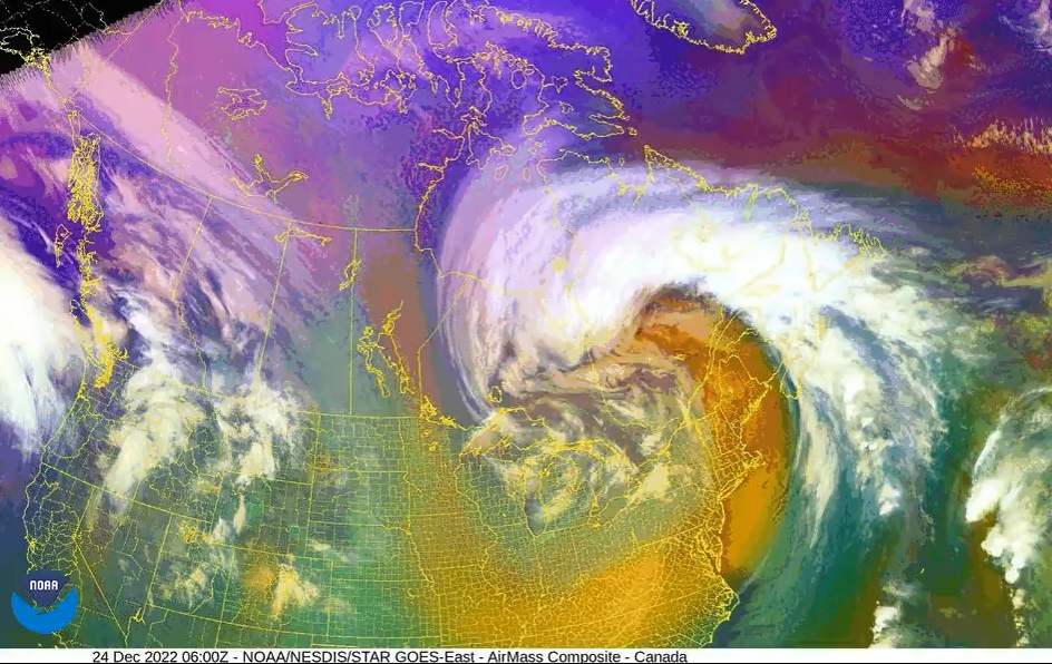
The term “atmospheric river” has been in the news recently due to the flooding along the West Coast.
An atmospheric river is a narrow band of concentrated moisture in the atmosphere. It is a narrow moisture plume that is a few thousand miles long and only about 250 to 375 miles wide. The term was coined in the early 1990s.
These long, meandering plumes of water vapor originate over the tropical oceans and flow toward the mid-latitudes. While small, atmospheric rivers account for more than 90% of the Earth’s north-south transport of global water vapor. According to the National Oceanic and Atmospheric Administration (NOAA), these rivers transport an amount of water vapor roughly equivalent to the average flow of water at the mouth of the Mississippi River.
Atmospheric rivers can result from the encroachment of a middle latitude weather system into the northern subtropics — latitudes of about 30 degrees north. The robust circulation of the middle latitude weather system drives air northward on its eastern side and equatorward on its western side. On the Pacific coast of North America, the tropical air can sometimes originate near the Hawaiian Islands, hence the name “Pineapple Express.”
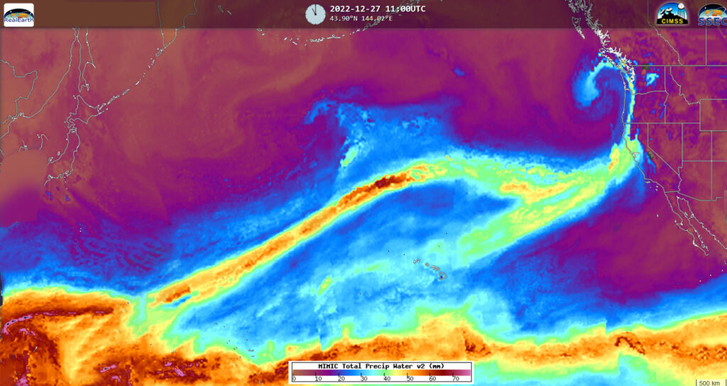
Atmospheric rivers are estimated to provide 30-50% of the precipitation on the West Coast. While they provide the needed water to the region, they can also bring heavy precipitation, as we have seen with the recent central and southern California flooding. When these rivers with high water vapor content are forced up the sides of the Sierra Nevada mountains in California and Nevada, the water vapor is condensed into liquid and solid form, bringing rain and snow to the area.
Atmospheric rivers cause $1.1 billion in yearly flood damage on average. About 85% of flood damage in Western states is associated with atmospheric rivers.
Steve Ackerman and Jonathan Martin, professors in the UW-Madison department of atmospheric and oceanic sciences, are guests on WHA radio (970 AM) at 11:45 a.m. the last Monday of each month. Send them your questions at stevea@ssec.wisc.edu or jemarti1@wisc.edu.