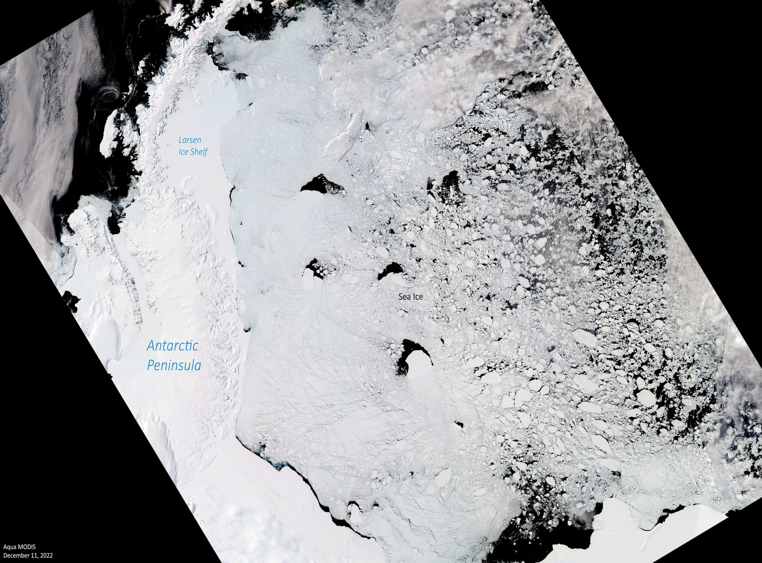
The Southern Ocean around Antarctica freezes to form sea ice every year. Scientists use observations from satellites to monitor the sea ice extent throughout the year.
Sea ice melt in Antarctica is a seasonal occurrence that usually begins in September (the end of Southern Hemisphere winter) and continues into February (end of Southern Hemisphere summer). As the pole warms during summer, the sea ice around the continent breaks up and melts.
Sea ice extent increases and decreases with the seasons. The decline in the amount of sea ice from winter to summer is very steep in the Antarctic. The seasonal variation is much larger than the interannual difference. Since the year 2013, Antarctic sea ice has exhibited its highest and lowest extents on record, with the highest-ever winter maximum in September 2014, and possibly this year for the lowest-ever summer minimum. The extent of sea ice around Antarctica at the end of December 2022 was the lowest in 45 years of satellite records.
Overall, the long-term annual trend in the amount of Antarctic sea ice is nearly constant. Sea ice at the Southern Hemisphere surrounds a large continent and has more room to expand in the winter than in the Arctic. Because of this geography, that ice also stretches into warmer latitudes, leading to more melting in summer.
Less Antarctic sea ice survives the summer than in the Arctic. On average, in the Southern Ocean only about 15 percent of winter ice cover survives the summer, while about 40 percent of the Arctic Ocean’s winter ice cover remains at the summer minimum. Since so little Antarctic ice persists through the summer, most of the Antarctica’s sea ice is only one winter old and is relatively thin, often about 3 feet or less.
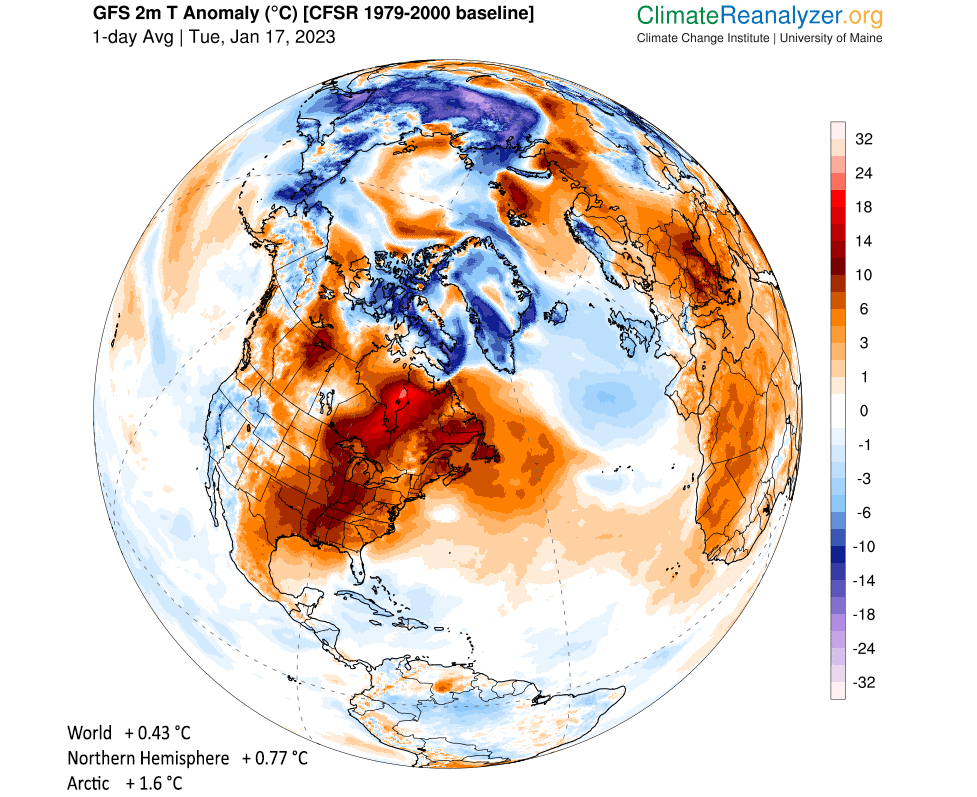
Steve Ackerman and Jonathan Martin, professors in the UW-Madison department of atmospheric and oceanic sciences, are guests on WHA radio (970 AM) at 11:45 a.m. the last Monday of each month. Send them your questions at stevea@ssec.wisc.edu or jemarti1@wisc.edu.