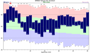
As we enter the month of October and the traditional end of the warm season, it’s interesting to note that the average temperature last month, through Sept. 28, was 4.0 degrees above normal in Madison.

That is by far the biggest deviation among traditional warm-season months — June, July, August and September. All were warmer than average this year: June was 0.8 degrees, July just 0.5 degree and August only 1.2 degree above the respective norm.
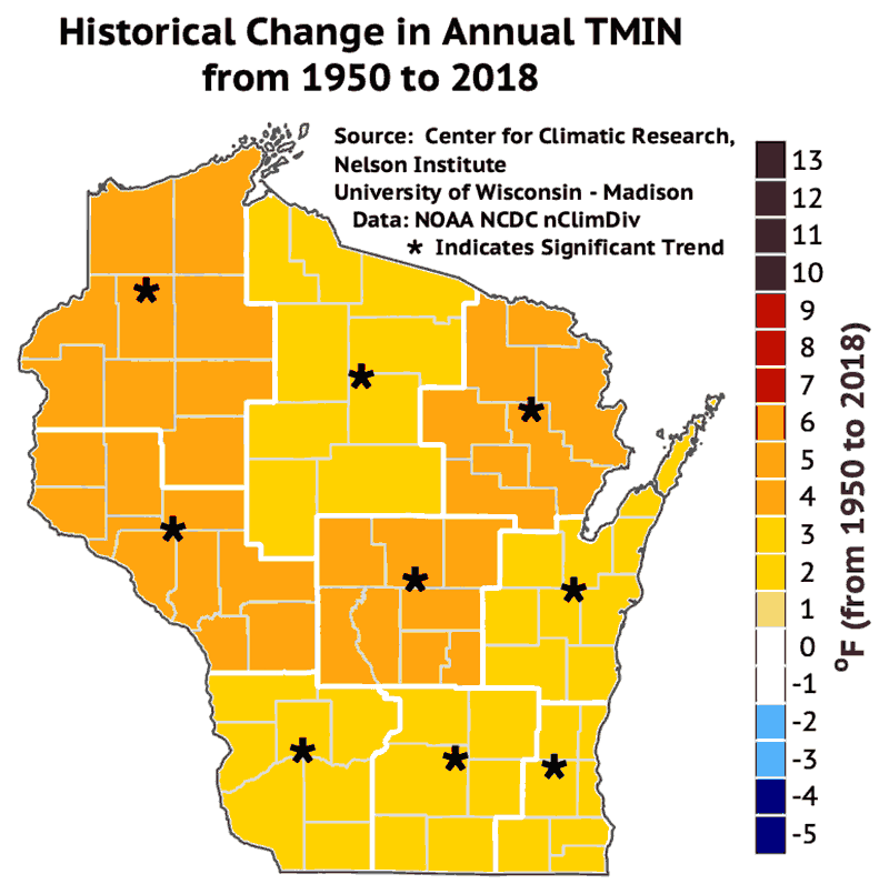
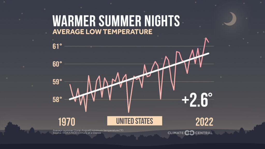
If we break down the September temperature departure into contributions made by increased daytime highs and those made by higher overnight lows, the story gets even more interesting — and more telling. Through Sept. 28, the daily maximum temperatures have averaged 2.7 degrees Fahrenheit above normal, while the overnight lows have been 5.5 degrees warmer than average. Thus, warmer overnight lows last month have contributed about two-thirds of the total temperature anomaly.
Underlying the spike in overnight lows is the fact that the air is systematically a bit more humid as the global temperature increases, and water vapor is a very efficient greenhouse gas. Consequently, if there is more water vapor in the air, it is harder for the surface of the planet to lose energy to space overnight.
The bias toward overnight temperature increases as the emblem of climate change is yet another way that the current slow warming of the planet nurtures a level of public skepticism that is out of proportion to the urgency of the threat.
Steve Ackerman and Jonathan Martin, professors in the UW-Madison department of atmospheric and oceanic sciences, are guests on WHA radio (970 AM) at 11:45 a.m. the last Monday of each month. send them your questions at stevea@ssec.wisc.edu or jemarti1@wisc.edu.


