The month began with a week-long period of moderate to heavy rain over the Great Lakes states associated with an energetic jet stream racing across the northern tier of states.
Near the end of the second week of the month, a major cyclone developed over the High Plains triggering a series of high-impact weather events across a large part of the nation.
The first substantial snows of the season struck Denver and other cities in the Intermountain West, and as the storm moved eastward, it dropped as much as 30 inches of snow in central North Dakota.
Farther to the west, surface high pressure built inland leading to strong Santa Ana winds over central and southern California triggering a number of destructive wildfires.
In Denver, the storm’s passage dropped the temperature from 83 on Oct. 9 to 13 by the end of the next day. That was the fourth largest one-day temperature drop since record keeping began in Denver in 1872.
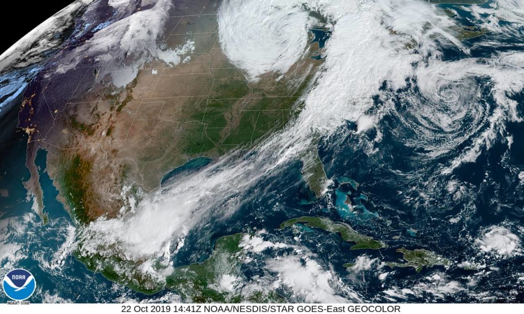
Late last week a major cyclone struck the northeastern U.S. with heavy rains and hurricane-like winds. Boston had peak wind gusts of 55 mph with some locations in coastal Maine howling up to 80 mph. The storm brought down trees and power lines in a vast number of communities in eastern New England and snarled air travel for several days.
Such high-impact events are characteristic of October — a unique month for the large-scale circulation of the Northern Hemisphere.
During October the decreasing daylight cools the high latitudes and energizes the polar jet stream.
Meanwhile, the last tropical cyclones of the season ensure that the year’s most energetic interaction between the tropics and the mid-latitudes occurs then.
Such interactions can have an enormous impact on the development of weather systems in the middle latitudes at this time, leading to a parade of high-impact events like the one that just visited North America.


