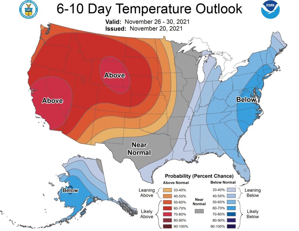
Our recent cold snap has brought the November average to just 0.5 degrees above normal through the first 17 days of November after a relatively warm October in Madison, where the average temperature was 5.9 degrees above normal.
It is unlikely we will see a dramatic enough warmup over the last two weeks of the month to get us even close to as warm as we were in October. In fact, the most recent 10-day forecasts suggest continued seasonable to below-seasonable temperatures in southern Wisconsin through the end of November.
Last year the sequence was nearly exactly reversed as we endured a relatively cold October (temperature 3.8 degrees below normal), while November started really warm, with high temperatures at or above 68 degrees every day from Nov. 3-8.
This year we had a trace (or more) of snow on four consecutive days Nov. 4-7. Such dramatic turns from year-to-year point out how much natural variability there is in the weather at nearly any time of year — though it seems especially capricious in the late fall — perhaps because large departures at this time of year are so obviously experienced as extensions of summer (warm) or early indications of winter (cold).
The fact is that these notable departures are not of much predictive value when it comes to forecasting the coming cold season. Even the brewing La Nina conditions in the central tropical Pacific do not offer much guidance for what we might expect this winter as both warm and cold extremes in our region have been known to accompany such conditions.
Steve Ackerman and Jonathan Martin, professors in the UW-Madison Department of Atmospheric and Oceanic sciences, are guests on WHA radio (970 AM) at 11:45 a.m. the last Monday of each month. They also write weekly articles for the Wisconsin State Journal.


