
The snow showers that visited our area on Thursday afternoon represented the fourth time snow had been in the air in Madison this month of April.
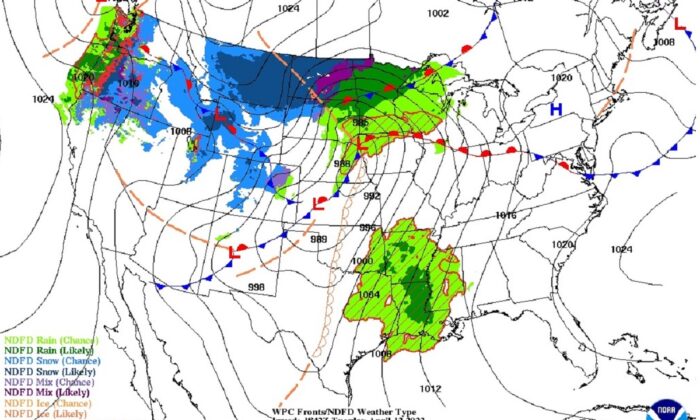
These showers were associated with the development and passage of a strong and sprawling cyclone that brought blizzard conditions to a number of locations in North Dakota and Montana from Tuesday night into Thursday. The town on Glenburn, North Dakota, received 30.5 inches of snow as of Thursday morning, with 30 to 36 inches variously reported around Minot.
These are exceptional, though not unprecedented, totals for April snows in the region. This exceptional event accounted for well over half of the entire season’s snowfall in many locations across North Dakota. In this particular instance, the severity of the late snow coupled with its duration and the accompanying wind gusts of up to 60 mph, put ranchers in the area in a difficult position as many were deep into the calving season. Ranchers prefer to keep their animals outside during the season, and newborn calves are at substantially higher risk of contracting pneumonia if they can’t stay dry after birth.
Thanks to decades of persistent advances in theory, observational technologies and computer modelling innovations, this storm was well forecasted and NWS warnings were issued well in advance of the onset of dangerous conditions. Consequently, the storm’s negative economic impact was greatly reduced.
Steve Ackerman and Jonathan Martin, professors in the UW-Madison department of atmospheric and oceanic sciences, are guests on WHA radio (970 AM) at 11:45 a.m. the last Monday of each month. Send them your questions at stevea@ssec.wisc.edu or jemarti1@wisc.edu.