
On Thursday, many locations in southern Wisconsin experience snow squalls in which the falling precipitation was momentarily quite intense.
This event was an example of shallow convection – as opposed to the deep convection of summertime thunderstorms. Thursday’s shallow convection was spawned by a conspiracy of circumstances occurring at different levels in the atmosphere.
Near the surface, the early morning sunshine led to an increase in the near surface air temperature while at about 3 miles above the ground the air was cooling rapidly as colder air moved southward over the region. Warming the surface and cooling the air at upper levels reduces the stability and encourages vigorous upward vertical motion and cloud production.
What fell out of the sky was varied depending on your location, but many places saw snow grains, snow pellets or graupel. These particles are frozen hydrometeors that maintain their original crystalline structure.
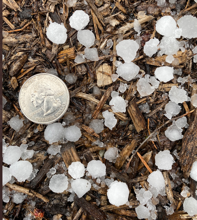
When a pre-existing piece of non-crystalline ice falls below the level at which the temperature is at or below the 32-degree freezing level, the particle accretes liquid water. When the particle is subsequently forced above the freezing level, that liquid coating freezes. A hailstone is produced when this process occurs several times before the particle is massive enough to fall to the ground.
Steve Ackerman and Jonathan Martin, professors in the UW-Madison department of Atmospheric and Oceanic Sciences, are guests on WHA radio (970 AM) at 11:45 a.m. the last Monday of each month.