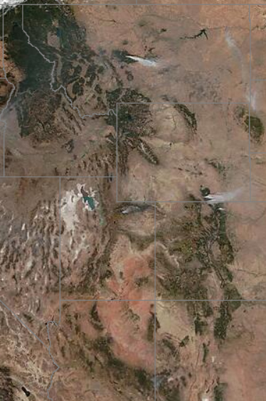
Our string of beautiful days at the end of last week were related, believe it or not, to the presence of the Rocky Mountains hundreds of miles to our west.
Last week, the atmospheric flow at levels just above the mountains’ height was oriented almost directly across the high terrain. In such a case, like water flowing over a pebble in a stream, the air is forced to sink on the downwind — or lee — side of the mountains. As air sinks, it moves to higher pressures and is compressed. Upon being compressed, the air warms. Thus, whenever the flow above mountain height is directed as it was last week, very warm temperatures develop over Nebraska and the Dakotas.
The resulting warm air is then pushed eastward by the winds and is dragged toward the Great Lakes in a process known as “warm air advection.” On Friday that warm air advection was very strong and led to a high temperature for the day of 79 degrees. If not for some wispy high clouds early in the afternoon on Friday, we may well have reached 80 degrees or higher.
The last time Madison was officially 80 degrees or warmer was Sept. 2. The earliest day on which Madison has ever recorded its last 80-degree day of the year was Sept. 2, 1977. Thus, since the mercury stopped at 79 on Friday, we now have a very good chance of tying that unusual record — even though the early fall has been very pleasant.
Just for completeness, the all-time latest 80-degree day in Madison’s history is Oct. 23 so, if we fail in the first quest, perhaps we can succeed in overturning the second.
Steve Ackerman and Jonathan Martin, professors in the UW-Madison Department of Atmospheric and Oceanic Sciences, are guests on WHA radio (970 AM) at 11:45 a.m. the last Monday of each month.


