
Mammatus Clouds • Dave Jones, UW-Space Science and Engineering Center
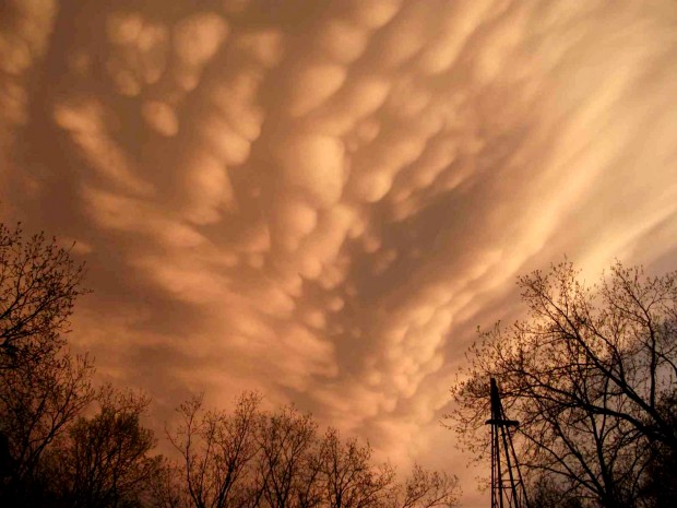
Those types of cloud are called mammatus. They often extend from the bottom of the anvil cloud of a thunderstorm, also called a cumulonimbus cloud, and indicate an intense storm is nearby. This was the case on Tuesday. Mammatus clouds may have a very ominous appearance; however, they are usually seen after the worst weather has passed. When they occur near sunset, they provide a beautiful sky.
Mammatus occur frequently in the Midwest during summer. We do not fully understand why they form, but there are a few hypotheses for their occurrence. Unlike most clouds, which form in rising air, mammatus are associated with sinking air in the upper parts of a thunderstorm. We also know that to form, there must be rapid changes in temperature, moisture and wind between the bottom of the anvil and the cloud-free air below. This rapid change in wind is a hazard to aviation, so pilots avoid mammatus and thunderstorms in general.
The widely accepted cloud classification system used today is based on a scheme introduced by Luke Howard in 1803. This naming convention uses Latin roots to describe the appearance of different cloud types. The Latin ‘mamma’ means udder or breast, and refers to the clouds’ characteristic udder-shaped protuberances.
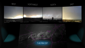
Rooftop Video
Check out this video to see the storm from the rooftop cameras atop the AOSS Building.