
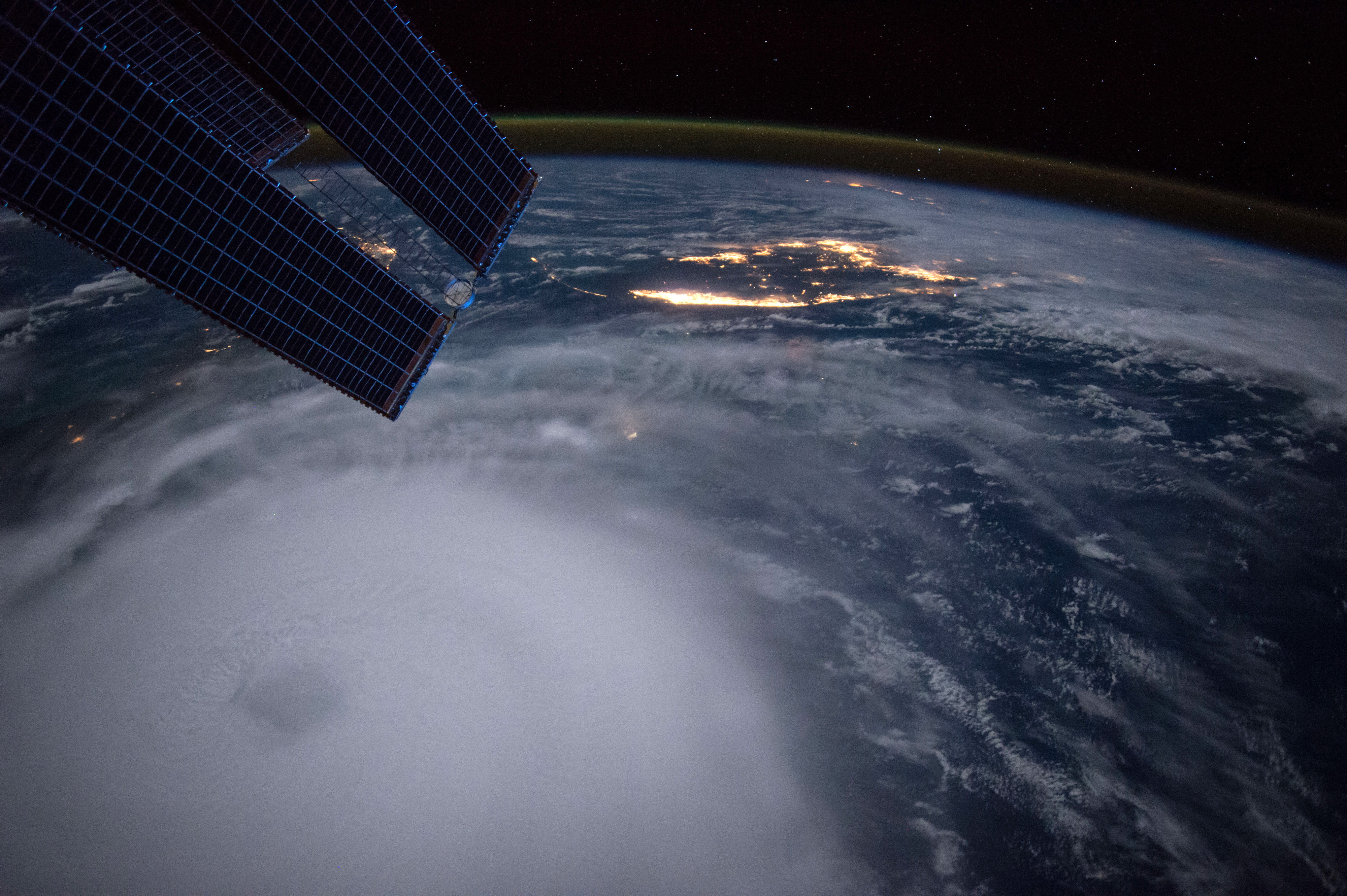
Hurricane Joaquin taken at night by Astronaut Scott Kelly from the International Space Station on 2 Oct 2015.
The improvement in hurricane track is due to a number of factors. We now have better and more satellite observations, new observations from drones carrying weather instruments, and more aircraft with better instruments observing hurricanes.
Super computers that are faster improve forecast models by allowing more energy and dynamic processes to be incorporated more explicitly into the forecast. Due to improved observations, we can include better descriptions of the initial state of the atmosphere into the models, which leads to more accurate predictions of a storm’s behavior.
Forecasting the intensity of a hurricane hasn’t improved much in the last two decades, so work remains to be done in that area. This lack of improvement is likely a result of our lack of understanding of the physics that control these massive weather systems.
Hurricanes are complex, large and powerful, which makes them difficult to study. While we still lack the ability to accurately forecast hurricane intensity, our understanding of how hurricanes evolve, how they interact with dust outbreaks from Africa, and how a new eye begins to develop around the old eye of a hurricane, has grown substantially.